What is recorded here
In pasture, located on elevated ground on N side of a narrow stream valley. A field drain lies immediately to W, bordering the garden of a modern two-storey house. To SE there is a spring well in a concrete housing.
This monument is shown on the 1837 OS 6-inch map as a small circular enclosure or earthwork, and on the 1930 edition as a roughly circular hachured feature (diam. c. 10m). It consists of a low, D-shaped earthen platform (c.7m E-W; 4.5m N-S; H 0.2-0.3m) defined on the curving N side by a slightly raised rim (Wth c. 0.5-0.7m), incorporating a few stones, and truncated on the straight side to S by modern disturbance. Its original form and function is unclear.
According to local information, an area of disturbed ground immediately to SE-S was used in the 1940’s as a pond for soaking flax, but has since been partly infilled.
Compiled by: Jane O’Shaughnessy
Date of upload: 16 April 2018
The monument record does not grant public access. Check the route and ask the landowner before entering private land.
- What survives
- Recorded monument
Places near here
 IndicatedFairy fort / earthen ringfort · 1148 yd
 Enclosure in QuignaleckaEnclosure · 1233 yd
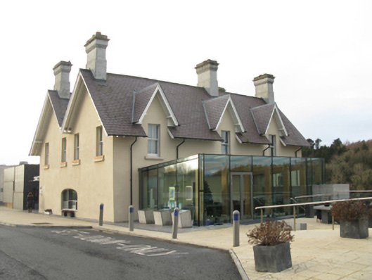 The Ice Housebuilding misc · 1485 yd
 SS Creteboombuilding misc · 1533 yd
 FloretteWreck · 1619 yd
 The Marshall Doran CollectionGallery · 1.1 mi
 Belleck CastleCastle, unclassified · 1.1 mi
 Belleek WoodsWood · 1.1 mi
 Humbert MonumentMemorial · 1.6 mi
 Rinphilip PointHeadland · 2.0 mi
 CastleCastle, unclassified · 2.0 miBattle of Ballinabattle · 2.1 mi