What is recorded here
Ardee By in County Louth, Ireland. Rathgory in Ardee Par., County Louth, Ireland.
The following description is derived from both the published 'Archaeological Inventory of County Louth' (Dublin: Stationery Office, 1986) and the 'Archaeological Survey of County Louth' (Dublin: Stationery Office, 1991). In certain instances the entries have been revised and updated in the light of recent research.
Date of upload/revision: 17 July 2007
Marked as 'fort' on an estate map of 1810. Now destroyed but townland boundary curves at this point (CLAJ 1982, 82).
This remains an important historical record, but the official description says the monument is no longer visible or has been destroyed. The monument record does not grant public access. Check the route and ask the landowner before entering private land.
- What survives
- No visible remains or recorded as destroyed
Places near here
 Enclosure in StonylaneEnclosure · 665 yd
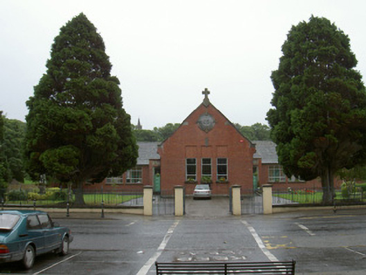 Ardee Monastery National Schoolschool · 786 yd
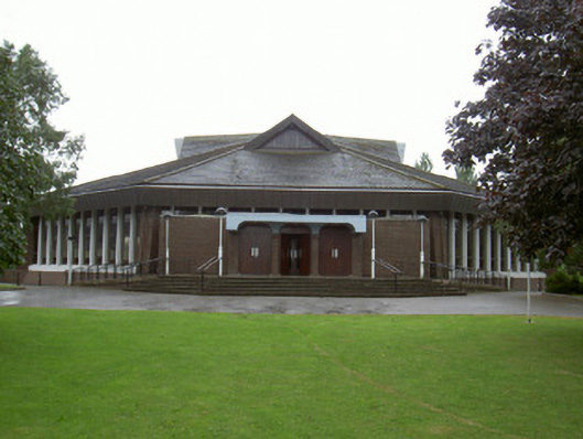 Catholic Church of the Nativity of Our Ladychurch/chapel · 808 yd
 CastleCastle, tower house · 1157 yd
 European White ElmEuropean White Elm · 1250 yd
 Church Chancel (in Ruins)Cross, Churchyard cross · 1480 yd
 Dawsons MoatCastle, motte and bailey · 1519 yd
 Sir Frederick Foster MemorialMemorial · 1604 yd
 Lebanon CedarLebanon Cedar · 1.5 mi
 Graveyard in StickillinGraveyard · 1.6 mi
 Screedoge HillMountain / peak · 2.2 mi
 Mount OrielMountain / peak · 3.9 mi