What is recorded here
In rough wet pasture, well 40m to SE, enclosure (LI039-025----) lies 430m to SW. Not depicted on OSi historic maps. Identified as an oval-shaped earthwork on aerial photograph (GSIA 543). Monument visible as a sunken oval-shaped area or pond (dims. c. 28m N-S; 18m E-W) enclosed by a wide bank, opening at SSW, intersected at SW by a linear cropmark running NE-SW into a drainage channel on OSi orthophotograph taken between 2005-12. Visible as a possible pond feature on Google Earth orthoimages. Doubtful antiquity may be the remains of a natural pond.
See attached Google Earth orthoimages.
Compiled by: Fiona Rooney
Date of upload: 14 April 2021
The monument record does not grant public access. Check the route and ask the landowner before entering private land.
- What survives
- Recorded monument
Places near here
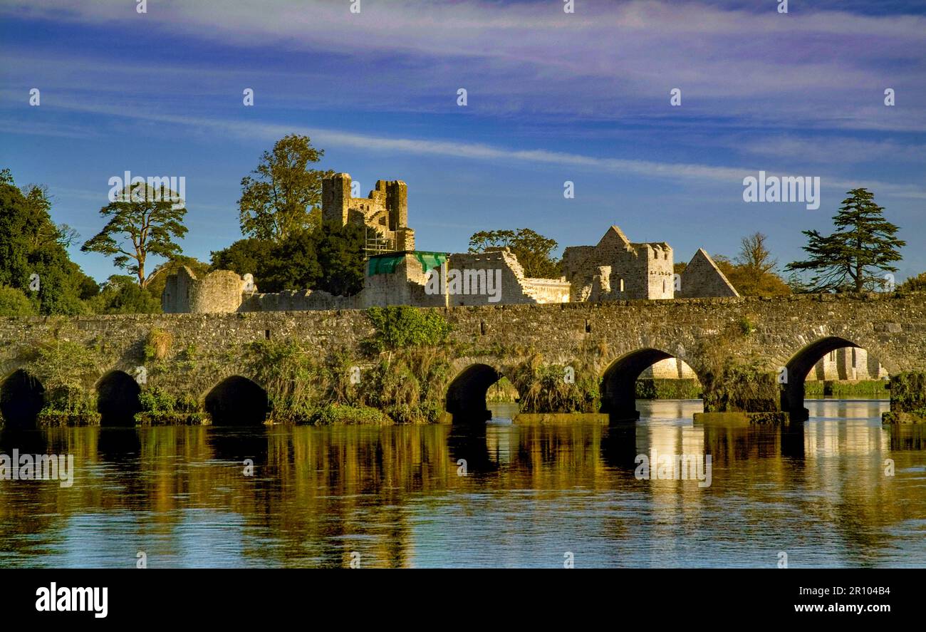 BarrowBarrow, unclassified · 849 yd
 Burial in RathcannonBurial · 869 yd
 OutlinedBawn · 1077 yd
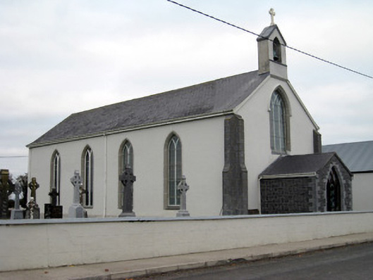 Catholic Church of Saint John the Baptistchurch/chapel · 1.4 mi
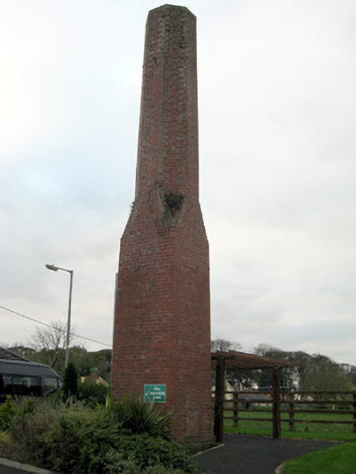 chimneychimney · 1.5 mi
 Castle IeversCastle, unclassified · 1.6 mi
 Monasteranenagh AbbeyHeritage attraction · 3.7 mi
 Lough GurVisitor information · 4.4 mi
 European ashEuropean ash · 4.8 mi
 Pedunculate OakPedunculate Oak · 5.4 mi
 Biodiversity in the Maigue CatchmentVisitor information · 5.5 mi
 Lough Gur Heritage CentreVisitor information · 5.5 mi