What is recorded here
Earthwork in Rathcahaun is an oval enclosure, roughly 35m by 25m, cut through by a north-south wall on a small Clare plateau. It appeared as a rath on the 1840 map and remained marked as an enclosure decades later, yet by 1999 only a shallow southern scarp and a band of thinner grass gave it away. The land has taken back most of its shape, leaving behind a faint line and a name instead of a clear boundary.
At the S edge of a small plateau in reclaimed pasture with a stream c. 80m to the S. Hachured on the 1840 OS 6-inch map as a rath and on the 1920 Cassini edition and the 25-inch plan as an oval enclosure (c. 35m N-S; c. 25m E-W) bisected by a N-S field wall. Listed as ‘Enclosure’ in the SMR (1992) and the RMP (1996). On inspection in 1999 only a possible scarp (Wth 3m; H 1.2m) at S (E of the field wall) was visible with thinner vegetation for 30-40m to the N. Not visible on available aerial imagery (2024).
Compiled by: Mary Tunney
Date of upload: 1 December 2025
The monument record does not grant public access. Check the route and ask the landowner before entering private land.
- What survives
- Recorded monument
Places near here
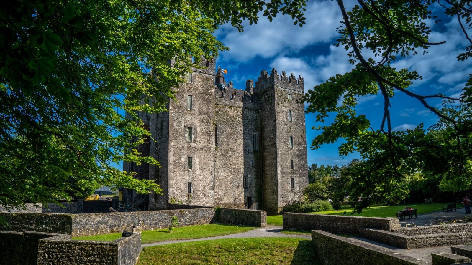 CastleCastle, unclassified · 565 yd
 IndicatedEnclosure · 852 yd
 Enclosure in RathcahaunEnclosure · 886 yd
 Kilkee Castle (Site of)Castle, unclassified · 1486 yd
 Ballygriffy WoodWood · 1588 yd
 Saint Mary's Catholic Churchchurch/chapel · 1.3 mi
 Church (in ruins)Church · 1.3 mi
 Battle of TullyodeaBattlefield · 1.3 mi
 Ardcarney WoodWood · 2.1 mi
 Rock IslandIsland · 3.7 mi
 Inchiquin IslandIslet · 3.8 mi
 Ennis AbbeyMuseum · 5.1 mi