
What is recorded here
On a gentle SW-facing slope in pasture. Indicated only on the 1920 OS 6-inch map as a walled subcircular enclosure (diam. c. 28m). Visible as a possible feature on a high-altitude GSI aerial photograph (SMR file). Listed as ‘Enclosure’ in the SMR (1992) and the RMP (1996). On inspection in 1999 only a vague rise (diam. c. 36m) was notable at ground level. Two monuments (CL025-147001- and CL025-148----) c. 130m to the E and c. 220m to the NE respectively were similarly only indicated as drystone walls on the 1920 edition but on inspection were deemed to have been cashels with drystone walls added later. This may have been similar.
Compiled by: Mary Tunney
Date of upload: 1 December 2025
A local fairy fort (ringfort/rath); wider significance not recorded.
The monument record does not grant public access. Check the route and ask the landowner before entering private land.
- What survives
- Recorded monument
Places near here
 Ballygriffy WoodWood · 771 yd
 Ring EnclosoureArchaeological place · 845 yd
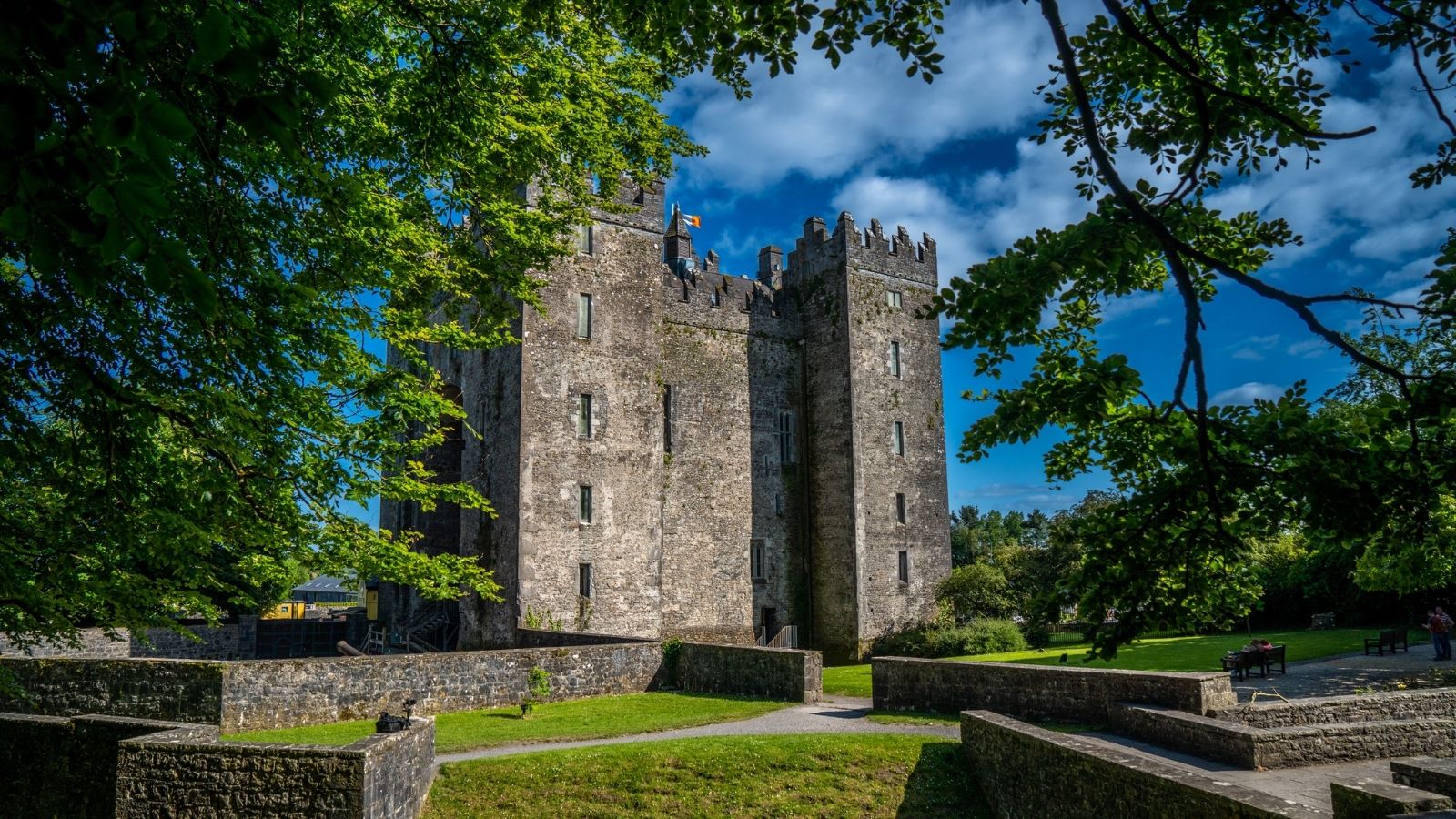 CastleCastle, unclassified · 1043 yd
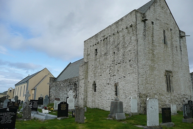 Templenaraha Church (Site of)Church · 1683 yd
 Kilkee Castle (Site of)Castle, unclassified · 1.0 mi
 Church (in ruins)Church · 1.5 mi
 Saint Mary's Catholic Churchchurch/chapel · 1.5 mi
 Ardcarney WoodWood · 1.6 mi
 Battle of TullyodeaBattlefield · 1.8 mi
 Rock IslandIsland · 4.2 mi
 Inchiquin IslandIslet · 4.3 mi
 Ennis AbbeyMuseum · 4.6 mi
Other information
Photo: Credit not shown in the picture search · Rights wording not checked; contact us if this picture should be removed