What is recorded here
In level pasture, on the S bank of the Robe River. A cropmark of a polygonal enclosure (c. 20m NW–SE; c. 40m NE–SW) is visible in an aerial photograph (GSI M 26 -7; Roll 205, SMR file). There is no visible trace at ground level.
Compiled by: Jane O'Shaughnessy
Date of upload: 16 December 2022
This remains an important historical record, but the official description says the monument is no longer visible or has been destroyed. The monument record does not grant public access. Check the route and ask the landowner before entering private land.
- What survives
- No visible remains or recorded as destroyed
Places near here
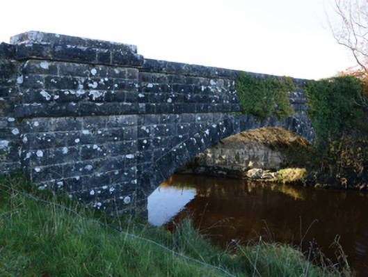 Hollybrook Bridgebridge · 46 yd
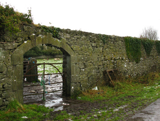 Hollybrook Housewalled garden · 555 yd
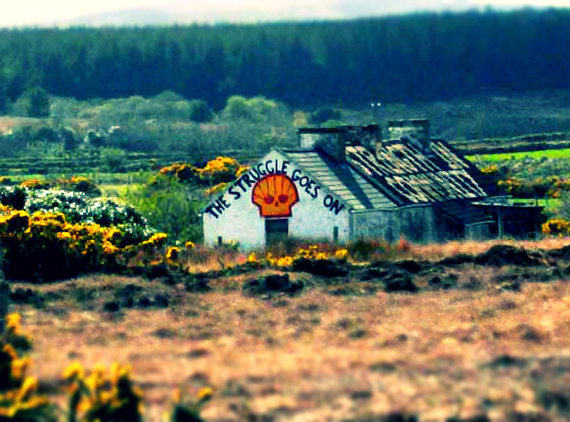 IndicatedEnclosure · 660 yd
 LisrobertEnclosure · 1702 yd
 Ahena CastleCastle · 1.1 mi
 Castle (ruin)Castle, unclassified · 1.3 mi
 Geoffrey's WoodForest · 3.7 mi
 Land of the GiantsHeritage attraction · 3.7 mi
 SycamoreSycamore · 4.4 mi
 Crane IslandIslet · 6.4 mi
 LabbadermotCave · 9.4 mi
 Carrigeen ShangormanIslet · 9.9 mi