What is recorded here
Aerial photograph (GB89.Y.02) shows a sub-circular earthwork with raised interior and steep bank. Covered in bracken.
The monument record does not grant public access. Check the route and ask the landowner before entering private land.
- What survives
- Recorded monument
Places near here
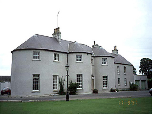 Everton Househouse · 962 yd
 Enclosure in DerrymoyleEnclosure · 1353 yd
 Enclosure in GarroughEnclosure · 1513 yd
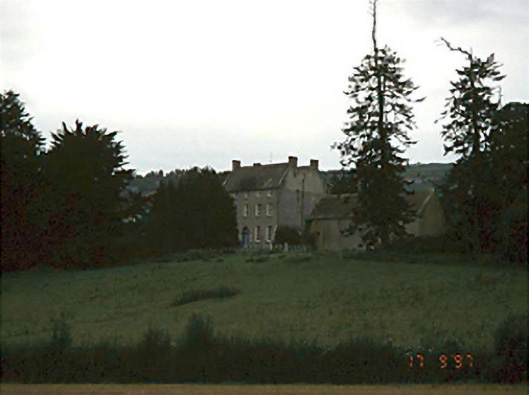 Springhill Househouse · 1555 yd
 European Crab AppleEuropean Crab Apple · 1676 yd
 Pedunculate OakPedunculate Oak · 1.0 mi
 Killeshin MoatCastle, motte · 1.3 mi
 Killeshin ChurchVisitor information · 1.4 mi
 Carlow CastleRuined medieval castle · 1.5 mi
 CastleCastle, Anglo-Norman masonry castle · 1.5 mi
 Carlow County MuseumMuseum · 1.8 mi
 Church (in ruins), GraveyardChurch · 2.3 mi