What is recorded here
Located on a fairly level landscape. This feature is not depicted on any map but is visible as a cropmark on aerial photographs (ACAP: 306/ 1363, 1364), It consists of a slightly raised grass-covered circular area (diam. c. 30m) defined by a slight scarp (H 0.2m).
The above description is derived from the published 'Archaeological Inventory of County Meath' (Dublin: Stationery Office, 1987). In certain instances the entries have been revised and updated in the light of recent research.
Compiled by: Michael Moore
Date of revision: 16 April 2019
The monument record does not grant public access. Check the route and ask the landowner before entering private land.
- What survives
- Recorded monument
Places near here
 CastleCastle, motte · 1251 yd
 AbbeyChurch · 1369 yd
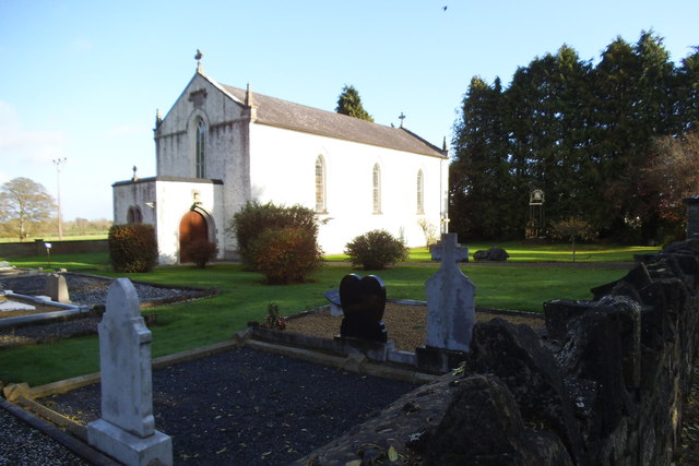 Saint Laurence's Catholic Churchchurch/chapel · 1637 yd
 Cross in Milltown (lune By.)Cross · 1.2 mi
 St. Laurences StoneRitual site, holy/saint's stone · 1.2 mi
 FarmaphobiaHeritage attraction · 1.8 mi
 Causey FarmHeritage attraction · 1.8 mi
 JamestownMountain / peak · 1.8 mi
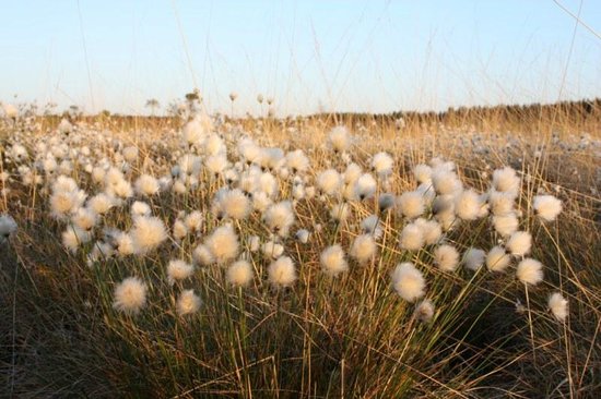 Native Woodland Trust: Girley Bog ReserveWood · 2.2 mi
 Girley WoodWood · 2.4 mi
 BoglandMemorial · 2.4 mi
 Drewstown LittleMountain / peak · 3.2 mi