What is recorded here
On a level bluff above the Nore valley, the River Nore is c. 70m to the NW, in pasture. There are good views in all directions. Traces of low irregular earthworks are visible on aerial photographs (CUCAP BGA 45, 1971; ASIAP (175) 31-2, 3 March 2001). These appear to form a rectangular area (dims. c. 60m NW-SE; c. 55m NE-SW) with the castle (KK009-065001-) in the northern portion of this area and an adjoined rectangular area immediately to the W (dims. c. 80m NW-SE; c. 60m NE-SW), with indications of sub-divisions within these areas. No discernible pattern is visible at ground level.
Compiled by: Jean Farrelly
Date of upload: 9 February 2018
The monument record does not grant public access. Check the route and ask the landowner before entering private land.
- What survives
- Recorded monument
Places near here
 Castle (in Ruins)Castle, tower house · 37 yd
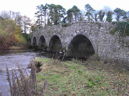 Lismaine Bridgebridge · 122 yd
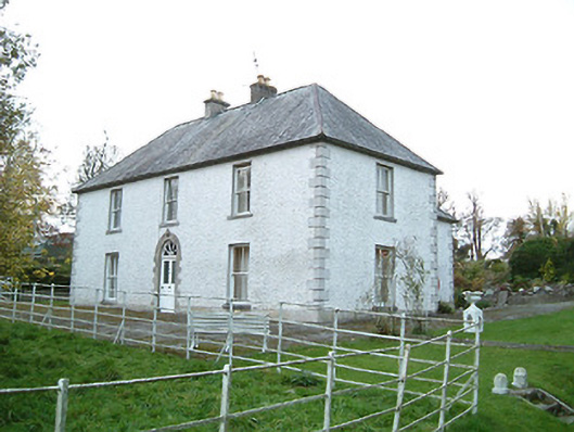 Lismaine Housefarm house · 162 yd
 CastleCastle, unclassified · 797 yd
 Enclosure in Clintstown (fassadinin By.)Enclosure · 945 yd
 RathbeaghFairy fort / earthen ringfort · 1185 yd
 Emma Jane Browne-ClaytonMemorial · 2.3 mi
 Red horse-chestnutRed horse-chestnut · 2.3 mi
 Graveyard in ThreecastlesGraveyard · 2.3 mi
 Turkey OakTurkey Oak · 2.6 mi
 Freshford LoopWalking route · 2.8 mi
 Anker's IslandIsland · 4.8 mi