What is recorded here
The following description is derived from both the published 'Archaeological Inventory of County Louth' (Dublin: Stationery Office, 1986) and the 'Archaeological Survey of County Louth' (Dublin: Stationery Office, 1991). In certain instances the entries have been revised and updated in the light of recent research.
Date of upload/revision: 17 July 2007
OS Letters refer to destroyed 'fort' in the townland, presumably at the site marked 'Liscorry' on 1835 ed. of OS 6-inch map.
The monument record does not grant public access. Check the route and ask the landowner before entering private land.
- What survives
- Recorded monument
Places near here
 Font in KillineerFont · 1345 yd
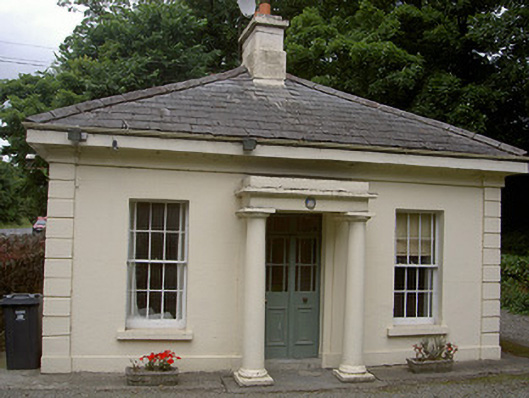 Killineer Housegate lodge · 1476 yd
 CastleCastle, tower house · 1723 yd
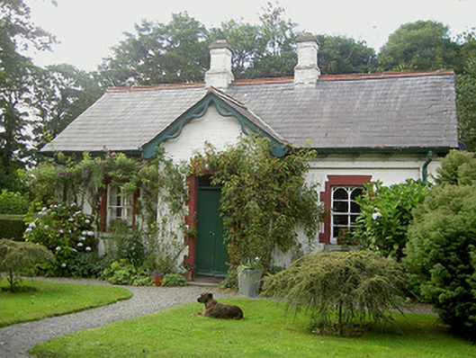 Listoke Housegate lodge · 1.0 mi
 Tobershowney (Covered)Holy well · 1.1 mi
 Yellow IslandIslet · 2.5 mi
 Grove IslandIslet · 2.6 mi
 MonasterboiceEarly monastic site · 2.7 mi
 Muiredach's High CrossHeritage attraction · 2.7 mi
 Battle of the Boyne Visitor CentreMuseum · 2.9 mi
 Battle of the BoyneMajor battlefield · 3.0 mi
 European YewEuropean Yew · 3.0 mi