What is recorded here
In pasture, on the NW outskirts of Swinford town, located on knoll.
This possible earthwork is not indicated on any edition of the OS 6-inch maps. It was included in the 1991 SMR and the 1996 RMP on the basis of a feature visible on an aerial photograph (OS 2 4438 -9; Roll 216, pr. 13). This appears to be natural knoll (c. 40m NNW-SSE; c. 24m ENE-WSW), roughly oval in plan, with broadly sloping sides at NE-S-W. The top of the knoll has been dug into creating a roughly square, sunken area (c. 25-30m NNW-SSE; c. 24m ENE-WSW) defined on the W and SW sides by inward-sloping scarps. A modern shed is built against the base of the knoll at E, a portion of the SE side of the knoll has been quarried out, and a field boundary on an E-W axis extends across the S edge of the knoll. These changes to the knoll to be relatively recent. This feature does not appear to have archaeological significance.
Compiled by: Jane O’Shaughnessy
Date of upload: 25 November 2020
The monument record does not grant public access. Check the route and ask the landowner before entering private land.
- What survives
- Recorded monument
Places near here
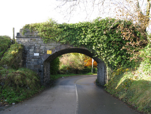 bridgebridge · 89 yd
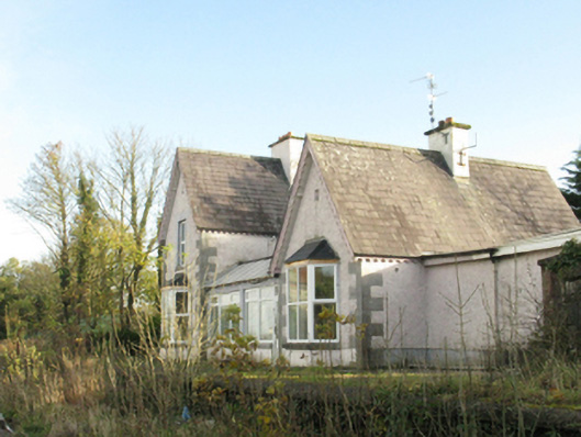 Swinford Railway Stationstation master's house · 278 yd
 Youth Memorial GardenMemorial · 320 yd
 IndicatedFairy fort / earthen ringfort · 476 yd
 Enclosure in LagcurraghEnclosure · 479 yd
 Procession Of The SoulsMemorial · 599 yd
 Brabazon WoodsForest · 951 yd
 HawthornHawthorn · 2.0 mi
 Castle (in Ruins)Castle, unclassified · 2.3 mi
 Hennigan's Heritage CentreHeritage attraction · 2.4 mi
 Thorn CaveCave · 3.6 mi
 Kiltimagh MuseumMuseum · 7.0 mi