What is recorded here
On a rise in pastureland. Well-preserved but enigmatic subcircular earthwork (c. 60m NE-SW overall; c. 52m NW-SE; H c. 5m max.) comprising a three-tiered flat-topped earthen mound. A modern field wall cuts across it from NNW to SSE and another boundary encircles it from SE to SSW.
Compiled by: Galway Archaeological Survey, UCG
Date of upload: 26 July 2019
The monument record does not grant public access. Check the route and ask the landowner before entering private land.
- What survives
- Recorded monument
Places near here
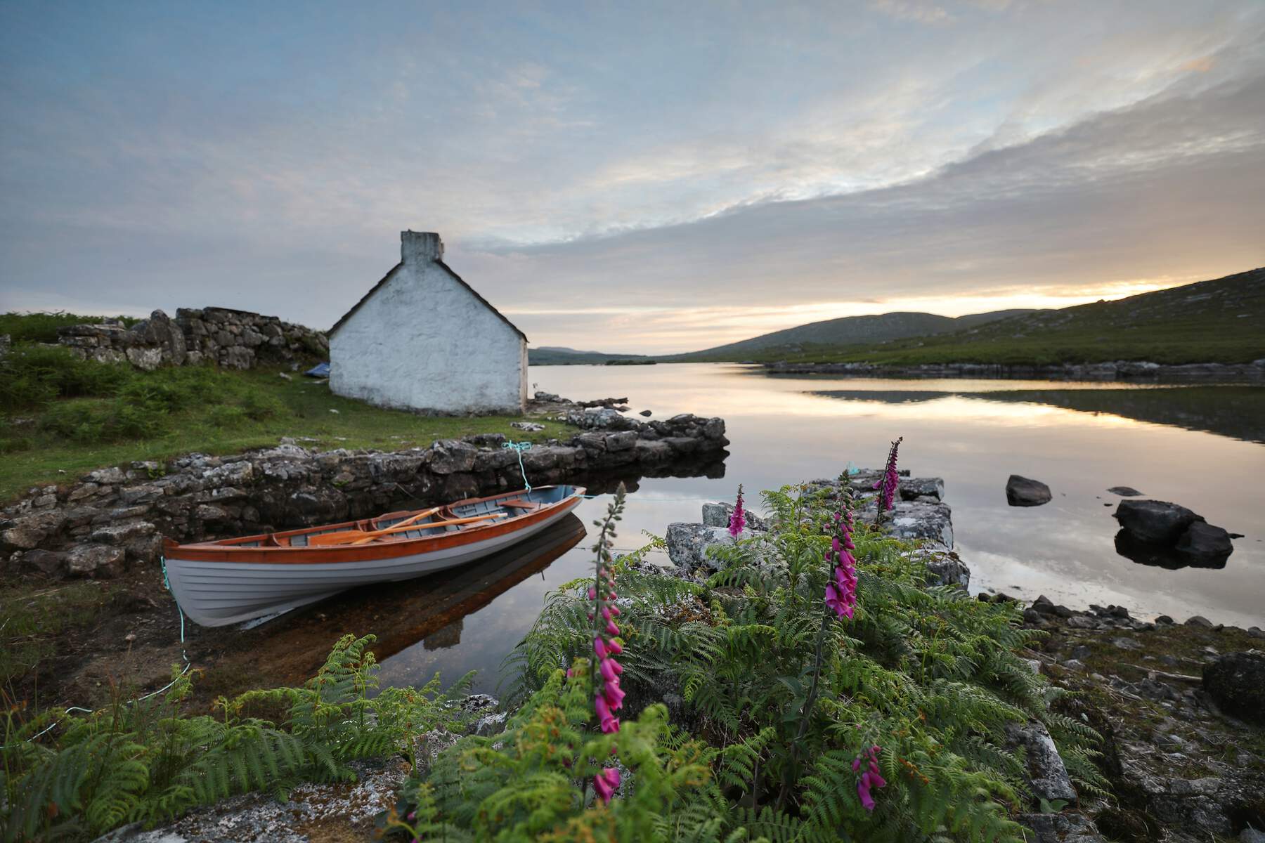 CaveMan-made underground passage · 593 yd
 KilnKiln, lime · 1257 yd
 CaneArchaeological place · 1284 yd
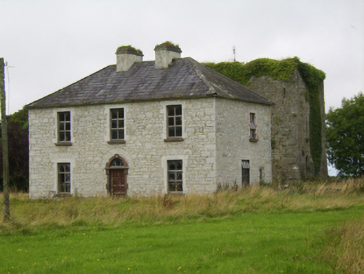 Ballybroder Househouse · 1658 yd
 Ballygasty Castle in ruinsCastle, unclassified · 1745 yd
 Bush IslandIslet · 1.7 mi
 Middle IslandIslet · 1.7 mi
 Raruddy Castle (in ruins)Castle, tower house · 1.8 mi
 Long PointHeadland · 2.2 mi
 Turoe StoneHeritage attraction · 2.7 mi
 Dartfield Horse MuseumHeritage attraction · 2.8 mi
 Scalpeen RockNamed rock · 7.1 mi