What is recorded here
Marked only on the 1914 ed. of the OS 6-inch map as a hachured feature (diam. c. 25m) truncated at S by an E-W quarry. Situated on the SW bank of the NW-SE Feorish River with the river immediately to the N. D-shaped scrub-covered area (dims. 17m E-W; 8.5m N-S) defined by a scarp (H 0.8m at W to 3.2m at E). It is bisected by a N-S field bank and drain, and truncated by a quarry at S. It may be a spoil mound. Moated site (RO001-002----) is c. 180m to the NE.
Compiled by: Michael Moore
Date of upload: 24 August 2010
The monument record does not grant public access. Check the route and ask the landowner before entering private land.
- What survives
- Recorded monument
Places near here
 Indicated (1838).Fairy fort / earthen ringfort · 213 yd
 Enclosure in RoverEnclosure · 660 yd
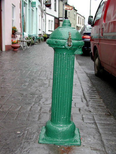 water pumpwater pump · 1128 yd
 Josie McDermott MemorialMemorial · 1153 yd
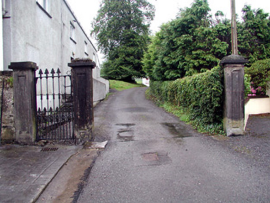 Alderford Housegates/railings/walls · 1218 yd
 Roundhouse Hill WoodForest · 1.3 mi
 Green IslandIslet · 1.5 mi
 Black WoodForest · 1.5 mi
 Tobar Ailbhe Holy WellMemorial · 1.5 mi
 Stony IslandIslet · 2.2 mi
 Kilronan MountainMountain / peak · 2.9 mi
 Barroe NorthMountain / peak · 3.5 mi