What is recorded here
Kilcloony holds linear earthbanks south, west and north of its graveyard, leaning north-south but refusing coherent shape. A shadow passing overhead in July 1967 revealed what foot traffic had forgotten, while the northern banks vanished entirely beneath grass and time. The dead sit at the centre of an unfinished circle, surrounded by ridges that may have marked boundaries, rituals or mere livestock control. Whatever they measured, they stopped measuring before anyone could ask them twice.
Surrounding a graveyard (GA016-063001-). Aerial reconnaissance in July 1967 (CUCAP ATF 56) revealed traces of a series of linear banks immediately to S, W and N of the graveyard. Though tending to follow a roughly N-S axis, they form no coherent pattern. No visible surface trace survives of those to N of the graveyard.
The above description is derived from the published 'Archaeological Inventory of County Galway Vol. II - North Galway'. Compiled by Olive Alcock, Kathy de hÓra and Paul Gosling (Dublin: Stationery Office, 1999).
Date of upload: 05 August 2010
The monument record does not grant public access. Check the route and ask the landowner before entering private land.
- What survives
- Recorded monument
Places near here
 Cross in Kilcloony (dunmore By.)Cross · 2 yd
 Bawn in Kilcloony (dunmore By.)Bawn · 504 yd
 Enclosure in Kilcloony (clonmacnowen By.),quarrymountEnclosure · 646 yd
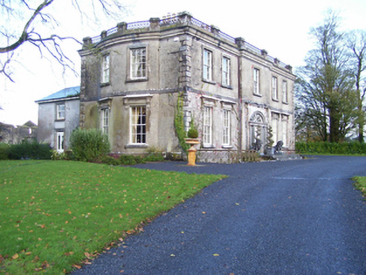 Quarrymount Househouse · 891 yd
 IndicatedHouse, indeterminate date · 1.6 mi
 Site of Doonbally CastleCastle, unclassified · 1.9 mi
 European ashEuropean ash · 3.7 mi
 Mass RockNamed rock · 5.2 mi
 KnockmaaWood · 8.6 mi
 Oileán an AoilIsland · 17 mi
 Otter IslandIslet · 17 mi
 Field system in Clashaganny (dunmore By.),kilphrasogaField system · 892 yd