
What is recorded here
An aerial photograph taken in 1971 (FSI 1971/470/69) shows a roughly circular earthwork (diam.65m) on a natural rise in lands that have been incorporated into a golf course. There is no visible trace of this earthwork.
Compiled by: Geraldine Stout
Updated by: Christine Baker
Date of upload: 18 January 2015
This remains an important historical record, but the official description says the monument is no longer visible or has been destroyed. The monument record does not grant public access. Check the route and ask the landowner before entering private land.
- What survives
- No visible remains or recorded as destroyed
Places near here
 Saint Thomas's Church (Mulhuddart)church/chapel · 487 yd
 Ring-ditch in KilmartinRing-ditch · 667 yd
 Earthwork in KilmartinEarthwork · 720 yd
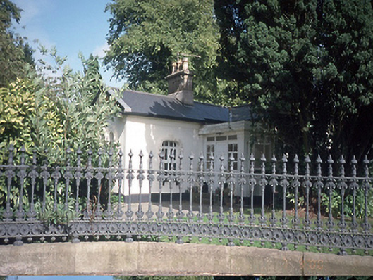 Hollywoodrathgate lodge · 848 yd
 TyrrelstownWood · 1.1 mi
 Graveyard in BuzzardstownGraveyard · 1.4 mi
 Wesley's WoodsWood · 1.7 mi
 Depicted Kilshane MoatCastle, motte · 1.8 mi
 CastleCastle, unclassified · 1.9 mi
 Liam Ó MaoilíosaMemorial · 3.9 mi
 BallymunVisitor information · 5.3 mi
 Griffeen Valley WalkWalking route · 6.4 mi
Other information
Photo: Credit not shown in the picture search · Rights wording not checked; contact us if this picture should be removed