What is recorded here
Earthwork in Hawksford is an earthwork in Hawksford, County Roscommon, Ireland. The trapezoidal grass-covered mound sits on the crest of a northwest-southeast ridge and measures 13.5 metres east-west, widening from 5.5 to 9.5 metres north-south while rising 0.3 to 1.1 metres high. Quarries mark its perimeter, and a Rath and man-made underground passage lie seventy metres to the southeast. The 1915 Ordnance Survey map shows it only as a circular feature about ten metres across.
Marked only on the 1915 ed. of the OS 6-inch map as a circular feature (diam. c . 10m), and situated on the crest of a NW-SE ridge. This is a trapezoidal grass-covered earth and stone mound (dims 13.5m E-W; 5.5m N-S at W to 9.5m N-S at E; H 0.3m at E to 1.1m at W) with quarries on the perimeter. Rath (RO008C010001-) and Man-made underground passage (RO008C010002-) are c. 70m to the SE.
Compiled by: Michael Moore
Date of upload: 24 August 2010
The monument record does not grant public access. Check the route and ask the landowner before entering private land.
- What survives
- Recorded monument
Places near here
 CaveHoly well · 95 yd
 Bockagh HillMountain / peak · 1.4 mi
 Embanked enclosureFairy fort / stone ringfort · 1.5 mi
 farm housefarm house · 2.4 mi
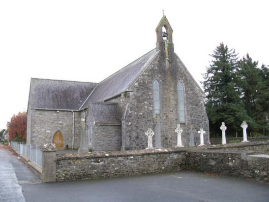 Saint James's Catholic Churchchurch/chapel · 2.5 mi
 Casatle (ruins)Castle, unclassified · 3.2 mi
 CastleCastle, unclassified · 3.8 mi
 Old Cave Burial GroundArchaeological place · 4.0 mi
 Crow IslandIslet · 7.9 mi
 Castle PointHeadland · 8.2 mi
 Rose PointHeadland · 8.3 mi
 Bawn IslandIslet · 8.3 mi