What is recorded here
Situated off the crest of a hill on a NE-facing slope. A low, roughly circular mound (dims. 9.5m N-S; 11.4m E-W; H 0.2-0.56m) with no enclosing element. The interior slopes slightly to the NE and has been used as a dump for field stones and there is a circle of whitethorn bushes growing around the edge of the site. Known locally as a fort.
The above description is derived from 'The Archaeological Inventory of County Tipperary. Vol. 1 - North Tipperary' compiled by Jean Farrelly and Caimin O'Brien (Dublin: Stationery Office, 2002). In certain instances the entries have been revised and updated in the light of recent research.
Date of upload/revision: 16 January 2012
The monument record does not grant public access. Check the route and ask the landowner before entering private land.
- What survives
- Recorded monument
Places near here
 Tomona Castle (in ruins)Castle, unclassified · 937 yd
 Site of Castle SheelaCastle, tower house · 940 yd
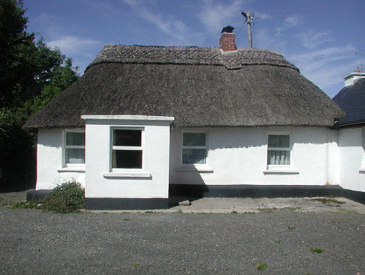 Kilteelagh Lodgehouse · 1304 yd
 IndicatedFairy fort / earthen ringfort · 1405 yd
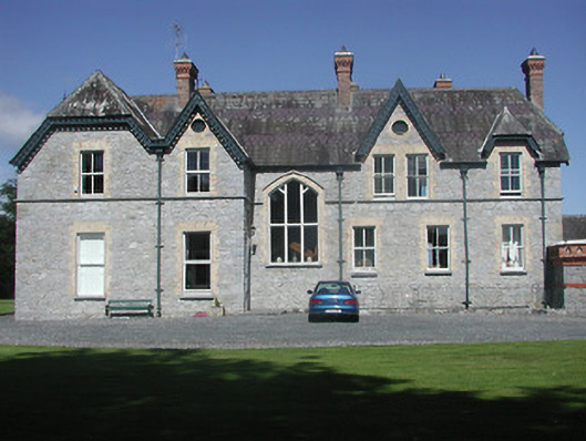 Kilteelagh Housecountry house · 1421 yd
 Connaught BayBay · 1544 yd
 Hazel PointHeadland · 1565 yd
 Enclosure in ShannonvaleEnclosure · 1606 yd
 Goose IslandIslet · 1.3 mi
 Blessed WellNature reserve · 1.5 mi
 Garrykennedy ForestWood · 2.3 mi
 CopperminesCave · 2.6 mi