What is recorded here
In reclaimed pasture 60m S of a local road that marks the townland boundary with Commons and 60m E of a railway track. Not depicted on the 1840 ed. OSi 6-inch map. It is shown on the 1897 ed. OSi 25-inch map as a raised oval-shaped area (dims. c. 25m NE-SW; 21m NW-SE) enclosed by a fosse from N-W-NE and intersected at S by a field boundary running NE-SW. Monument is visible as an oval-shaped area enclosed by a fosse on Digital Globe orthoimage taken between 2011-13 and on Google Earth orthoimages where it is intersected at S by field boundary running NE-SW.
See attached Google Earth orthoimages.
Compiled by: Martin Fitzpatrick
Date of upload: 12 August 2021
The monument record does not grant public access. Check the route and ask the landowner before entering private land.
- What survives
- Recorded monument
Places near here
 bridgebridge · 108 yd
 Saint Patrick's Catholic Churchchurch/chapel · 917 yd
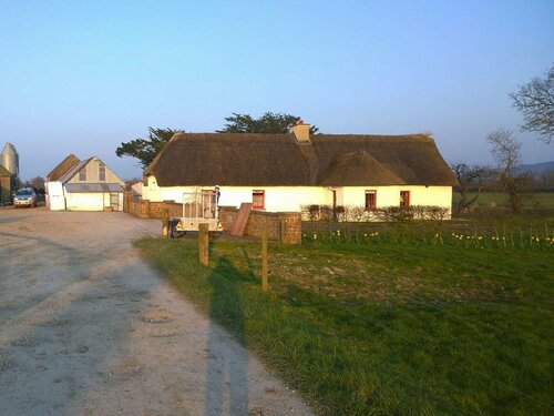 Enclosure in EffinEnclosure · 1189 yd
 ToberSpring · 1596 yd
 Lady's WellSpring · 1736 yd
 Moanboy FortFairy fort / earthen ringfort · 1.0 mi
 Holy Cross CemeteryGraveyard · 1.6 mi
 Ardskeagh MoatCastle, motte · 2.3 mi
 Castle (in ruins)Castle, unclassified · 2.3 mi
 BallinaboolaVisitor information · 3.2 mi
 Caher HillMountain / peak · 3.3 mi
 King John's CastleCastle · 4.0 mi