What is recorded here
Situated on a slight rise in low-lying undulating pasture, sloping to the NW. Depicted as an irregular-shaped platform-type earthwork on the 1st ed. (1840) OS 6-inch map and as a trapezoidal-shaped platform on the 1901-5 ed. A spindle whorl was found on site in the 1950s when the site was being levelled with a bulldozer (NMI Acquisitions Register 1953). Present remains consist of a large raised area (diam. c. 50m) which is heavily overgrown with scrub and brambles.
The above description is derived from 'The Archaeological Inventory of County Tipperary. Vol. 1 - North Tipperary' compiled by Jean Farrelly and Caimin O'Brien (Dublin: Stationery Office, 2002). In certain instances the entries have been revised and updated in the light of recent research.
Date of upload/revision: 16 January 2012
The monument record does not grant public access. Check the route and ask the landowner before entering private land.
- What survives
- Recorded monument
Places near here
 Tomona Castle (in ruins)Castle, unclassified · 1114 yd
 Site of Castle SheelaCastle, tower house · 1120 yd
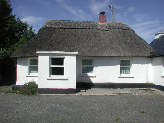 Kilteelagh Lodgehouse · 1126 yd
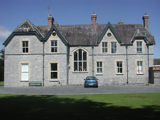 Kilteelagh Housecountry house · 1220 yd
 Connaught BayBay · 1342 yd
 Hazel PointHeadland · 1375 yd
 Enclosure in ShannonvaleEnclosure · 1396 yd
 IndicatedFairy fort / earthen ringfort · 1506 yd
 Goose IslandIslet · 1.2 mi
 Blessed WellNature reserve · 1.6 mi
 Garrykennedy ForestWood · 2.4 mi
 CopperminesCave · 2.6 mi