What is recorded here
In level grassland immediately NE of a T-junction on a byroad. A rectangular flat-topped earth and stone mound (N-S 11m, E-W 5m, H 1.1m), in fair condition, surrounded by a wide fosse (Wth 3.5m) along N, E and S sides. Possible traces of stone revetment are visible on the outer face of the fosse at E. The summit of the mound has been partially dug away and it is now crowned with a number of trees and bushes. Possibly a wayside monument of some kind.
The above description is derived from the published 'Archaeological Inventory of County Galway Vol. II - North Galway'. Compiled by Olive Alcock, Kathy de hÓra and Paul Gosling (Dublin: Stationery Office, 1999).
Date of upload: 05 August 2010
The monument record does not grant public access. Check the route and ask the landowner before entering private land.
- What survives
- Recorded monument
Places near here
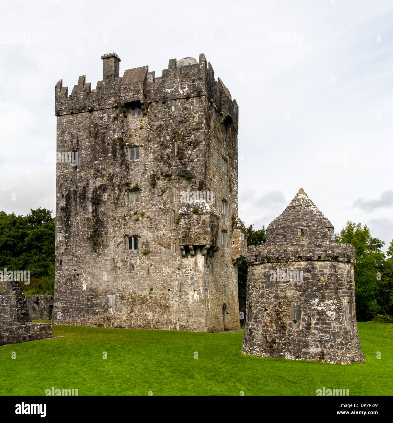 Doonnamon-minnaun FortFairy fort / earthen ringfort · 524 yd
 CahergortmoreArchaeological place · 659 yd
 Castlehacket National Schoolschool · 1522 yd
 Kilcoona Round TowerHeritage attraction · 1.9 mi
 KnockmaaWood · 1.9 mi
 Designed landscapeDesigned landscape, summer house · 1.9 mi
 Site of CastleCastle, unclassified · 2.2 mi
 Cashlaun Feecul in ruinsCastle, unclassified · 2.3 mi
 Ballinduff BayBay · 4.2 mi
 Mass RockNamed rock · 5.3 mi
 Walsh's IslandIslet · 5.6 mi
 Cúil DiarmuidWood · 5.9 mi