What is recorded here
In level poorly drained pasture, between drumlins. This earthwork has been levelled and only a slight rise in the field indicates its location. It was indicated only on the 1944 OS 6-inch map as a D-shaped raised area (30m NE-SW; 30m NW-SE) projecting to SW from the bank of a stream. The area immediately to S has been quarried and adjacent spoil heaps are evident.
The above description is derived from the published 'Archaeological Inventory of County Sligo' compiled by Ursula Egan, Elizabeth Byrne, Mary Sleeman with Sheila Ronan and Connie Murphy (Dublin Stationery Office, 2005).
Date of upload: 18 January 2008
The monument record does not grant public access. Check the route and ask the landowner before entering private land.
- What survives
- Recorded monument
Places near here
 Crannog in ArdreaCrannog · 1433 yd
 Fulacht fia in ArdreaFulacht fia · 1455 yd
 Saint Joseph's Catholic Churchchurch/chapel · 1510 yd
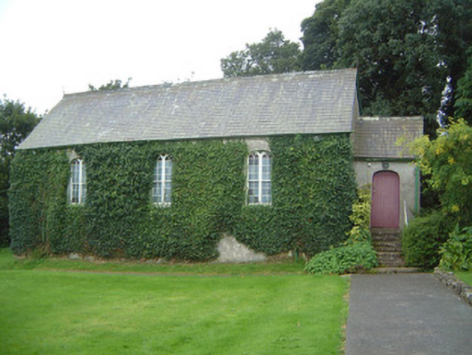 Graniamore Presbyterian Churchchurch/chapel · 1522 yd
 School CaveCave · 2.1 mi
 Ballymote CastleCastle · 2.2 mi
 Brother WalfridMemorial · 2.3 mi
 Kesh CorannMountain / peak · 2.3 mi
 Caves of KeshCave · 2.4 mi
 Behy Castle (in Ruins)Castle, tower house · 2.5 mi
 James MorrisonMemorial · 3.1 mi
 Riverstown Folk ParkHeritage attraction · 3.7 mi