What is recorded here
In pasture. Cropmark of circular-shaped earthwork (diam. c. 30m N-S) visible on Google Earth orthoimages.
See attached Google Earth orthophotos
Compiled by: Caimin O'Brien based on details provided by Jean-Charles Caillère
Date of upload: 29 October 2021
The monument record does not grant public access. Check the route and ask the landowner before entering private land.
- What survives
- Recorded monument
Places near here
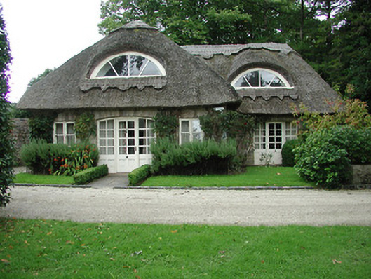 Kilboy Housegate lodge · 569 yd
 Dolla Church (in Ruins)Church · 834 yd
 Sweet ChestnutSweet Chestnut · 1181 yd
 Enclosure in Kilboy (kilmore Par., North Riding)Enclosure · 1732 yd
 Silvermines ViewpointViewpoint · 1.3 mi
 Our Lady Assumed into HeavenMemorial · 1.5 mi
 The MinerMemorial · 1.6 mi
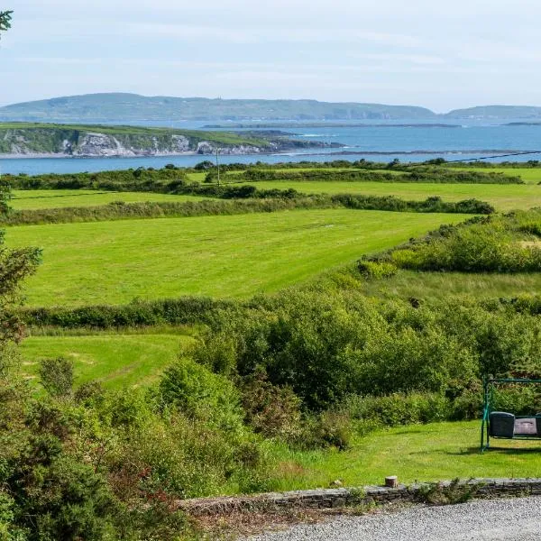 ToberanureHoly well · 1.6 mi
 Silvermine Mountains E TopMountain / peak · 2.3 mi
 Site of Ballygown CastleCastle, unclassified · 2.3 mi
 Dunalley Castle (in ruins)Castle, unclassified · 2.3 mi
 Silvermine Mountains W TopMountain / peak · 2.9 mi