What is recorded here
In grassland, 140m W of ringfort (WM008-037----) and 160m N of the N shoreline of Lough Adeel. Outline of circular-shaped earthwork with possible wall footings of a building on top that is visible on ASI aerial photograph taken 19/12/2004.
See attached ASI aerial photograph
Compiled by: Caimin O'Brien
Date of upload: 24 May 2023
The monument record does not grant public access. Check the route and ask the landowner before entering private land.
- What survives
- Recorded monument
Places near here
 The FurzeForest · 953 yd
 Corn Mill, Mill PondWater mill, unclassified · 1436 yd
 CastleCastle, tower house · 1511 yd
 Bawn in Scurlockstown (delvin By.)Bawn · 1.1 mi
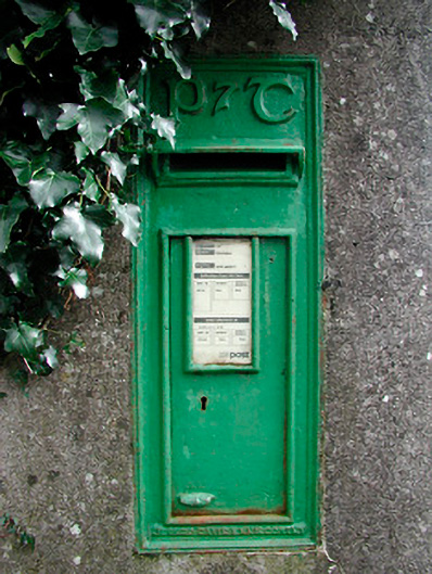 post boxpost box · 1.2 mi
 IndicatedEnclosure · 1.3 mi
 Brownstown OldSettlement cluster · 1.7 mi
 The Sloe HillMountain / peak · 1.8 mi
 Noggin HillMountain / peak · 1.9 mi
 Castle IslandIslet · 2.8 mi
 South East GateHeritage attraction · 3.0 mi
 St Feichin's MillHeritage attraction · 3.2 mi