What is recorded here
Situated on a hillock that was once within the demesne of Cornacasse, with the house c. 300m to the WNW. A small circular raised earthwork (diam. of top c. 23m) is visible on Google Earth (07/02/2019). It does not appear on any map but was first reported in 2018 from a LiDAR image by Susan Curran, and was also noted on the Google Image by Jean Charles Caillère.
See the attached view from Goole Earth
Compiled by: Michael Moore
Date of upload; 11 March, 2020
Amended: 13 May, 2020
The monument record does not grant public access. Check the route and ask the landowner before entering private land.
- What survives
- Recorded monument
Places near here
 Burnt mound in Cornecassa DemesneBurnt mound · 182 yd
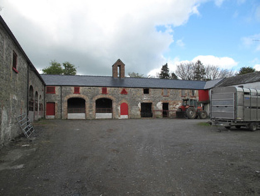 Cornecassa Housefarmyard complex · 376 yd
 Enclosure in MullaghadunEnclosure · 487 yd
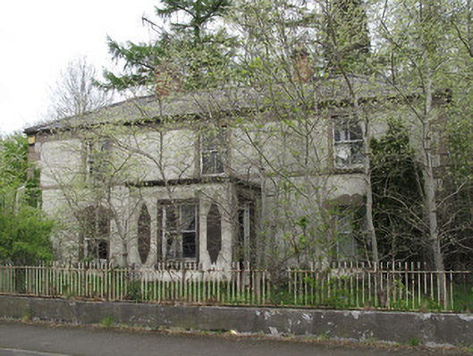 Shanherehouse · 496 yd
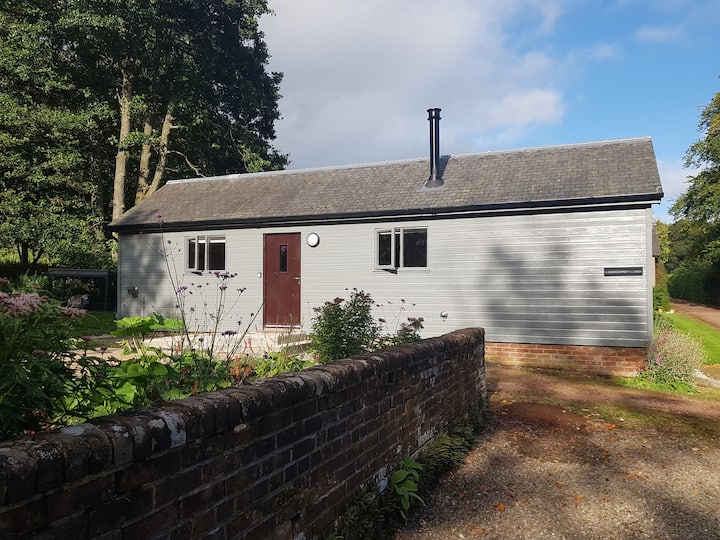 Gamekeeper's WoodForest · 880 yd
 European ashEuropean ash · 931 yd
 Rossmore MonumentMemorial · 1.1 mi
 Bawn in Roosky (monaghan By., Monaghan Par.)Bawn · 1.1 mi
 Monaghan County MuseumMuseum · 1.1 mi
 Banba GiantHeritage attraction · 1.2 mi
 Rough HillMountain / peak · 2.8 mi
 Castleshane WaterfallWaterfall · 4.8 mi