What is recorded here
In pasture, 95m W of the River Maigue, immediately S of the townland boundary with Lackanagrour. Enclosure (LI039-003----) lies 400m to WNW. Depicted on the 1840 ed. OSi 6-inch map and on the 1897 ed. OSi 25-inch map as a circular-shaped platform (dims. c. 34m N-S; 37m E-W) defined by a scarp, intersected at W by a lane or trackway running N-S. Monument visible as a circular-shaped area enclosed by a fosse, standing in the NW corner of a field on OSi orthophotograph taken between 2005-12 and on Google Earth orthoimages.
See attached Google Earth orthoimages.
Compiled by: Fiona Rooney
Date of upload: 10 April 2021
The monument record does not grant public access. Check the route and ask the landowner before entering private land.
- What survives
- Recorded monument
Places near here
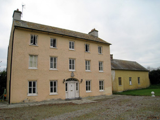 Cooleen Housebridge, country house · 570 yd
 EnclosureEnclosure, large enclosure · 890 yd
 Church (in ruins)Church · 979 yd
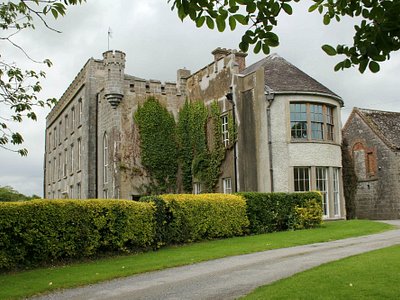 Enclosure in Harding GroveEnclosure · 1020 yd
 Athlacca Ho. (in ruins)Castle, unclassified · 1.2 mi
 Bruree Castle Lower (in ruins)Castle, Anglo-Norman masonry castle · 1.8 mi
 European ashEuropean ash · 4.1 mi
 Monasteranenagh AbbeyHeritage attraction · 4.4 mi
 Biodiversity in the Maigue CatchmentVisitor information · 4.8 mi
 Dysert AenghusaHeritage attraction · 5.2 mi
 KnockfeerinaMountain / peak · 5.4 mi
 Saint Derivla's WellSpring · 5.5 mi