What is recorded here
In reclaimed upland pasture 300m E of the townland boundary with Castleoliver. Depicted on the 1897 ed. OSi 25-inch map as a raised sub-circular-shaped area (dims. c. 37m NW-SE; 34m NE-SW) defined by a scarp from SW-N-SE. Visible as faint oval-shaped cropmark on Google Earth orthoimages.
See attached Google Earth orthoimages.
Compiled by: Martin Fitzpatrick
Date of upload: 17 November 2021
The monument record does not grant public access. Check the route and ask the landowner before entering private land.
- What survives
- Recorded monument
Places near here
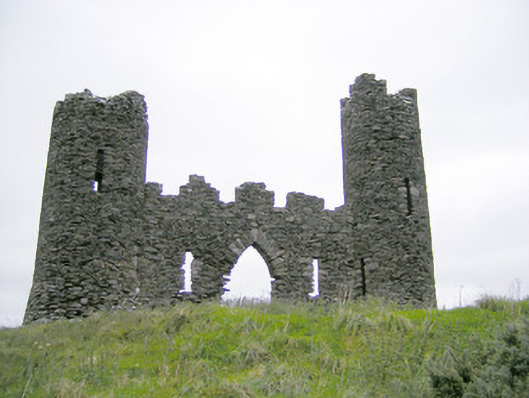 Castle Oliverfolly · 714 yd
 Cist in Ballinlyna UpperCist · 977 yd
 Cliff-edge fort in Ballinlyna LowerCliff-edge fort · 978 yd
 Gooseberry HillMountain / peak · 1179 yd
 Keale MountainMountain / peak · 1681 yd
 Tuck MillWater mill, unclassified · 1.3 mi
 Treada Na Ríogh (The Moat), hachuredCastle, motte · 1.5 mi
 Ballyhoura tourist informationVisitor information · 1.6 mi
 ToberpatrickSpring · 1.6 mi
 Castle (in ruins)Castle, tower house · 1.7 mi
 Palatine's RockNamed rock · 2.1 mi
 Ballyhoura WayWalking route · 2.1 mi