What is recorded here
In grassland. Cropmark of circular-shaped earthwork (diam. c. 65m) visible on Lidar image.
See attached Lidar image
Compiled by: Caimin O'Brien based on details provided by Jean-Charles Caillère
Date of upload: 11 July 2022
The monument record does not grant public access. Check the route and ask the landowner before entering private land.
- What survives
- Recorded monument
Places near here
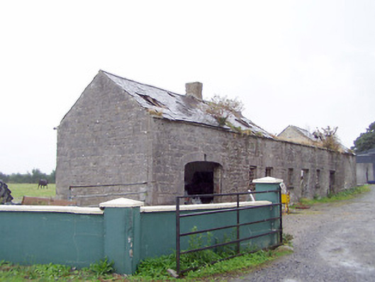 Cordara Houseoutbuilding · 627 yd
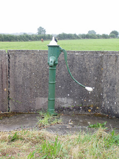 water pumpwater pump · 1330 yd
 Man-made underground passage in FortwilliamMan-made underground passage · 1677 yd
 Platform in Commons SouthPlatform · 1.1 mi
 Caltragh CastleCastle, unclassified · 1.2 mi
 Elfeet CastleCastle, Anglo-Norman masonry castle · 2.3 mi
 Priest's IslandIslet · 2.4 mi
 Culnagore WoodForest · 2.8 mi
 Elfeet BayBay · 2.8 mi
 Leveran IslandIslet · 3.0 mi
 White Sand WoodWood · 3.3 mi
 Wild birdsVisitor information · 3.8 mi