What is recorded here
Castlecor Demesne holds a low grass mound and a shallow T-shaped scar beside the pasture. The earthwork stands twenty metres wide, bounded by a thin fosse that cuts straight on one side and curves on the other. It is the kind of place where a hand could have shaped soil before written memory began, and a horse could have walked past it for centuries without knowing.
In pasture, c. 200m SW of Castlecor House (14868). Low, grass-covered mound surrounded by fosse (overall dims. 29m N-S; 23.5m E-W). Fosse (D 0.5m) has nearly linear sides to E and W and curved sides to N and S. T-shaped depression (c. 12m N-S; c. 35m E-W) c. 10m to S.
The above description is derived from the published 'Archaeological Inventory of County Cork. Volume 4: North Cork' (Dublin: Stationery Office, 2000). In certain instances the entries have been revised and updated in the light of recent research.
Date of upload/revision: 14 January 2009
The monument record does not grant public access. Check the route and ask the landowner before entering private land.
- What survives
- Recorded monument
Places near here
 Castlecor HouseCountry house · 229 yd
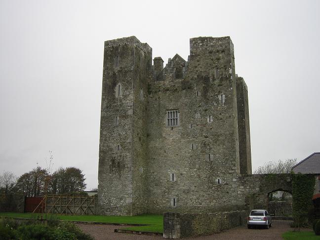
 CastleCastle, unclassified · 258 yd
 IndicatedKiln, lime · 607 yd
 Abbey (Site of)Religious house, unclassified · 672 yd
 BarrowBarrow, ring-barrow · 753 yd
 Ballyheen Castle (Site of)Castle, unclassified · 2.2 mi
 Graveyard in Ballygiblin (duhallow By.)Graveyard · 2.2 mi
 European YewEuropean Yew · 2.6 mi
 Burial ground in AssolasBurial ground · 2.7 mi
 Battle of LiscarrollMajor battlefield · 3.7 mi
 Hanna SheehyMemorial · 4.6 mi
 Kanturk CastleHeritage attraction · 4.9 mi