What is recorded here
Purcellsrath, locally called Raheenroe, lies in Upper Brownstown where a stream still cuts through high medieval ridges and deep agricultural furrows. The earthwork itself has no fixed point on modern surveys, but the surrounding land preserves the shape of vanished hamlets and the muscle memory of hands that worked it centuries ago. To walk its banks is to touch the edge of a place that refused to be forgotten, even when its name slipped from official lists.
According to Doyle (1985, 148), 'The area referred to as Purcellsrath is apparently Upper Brownstown which was on different occasions presented as a separate parcel of land, and was known to the old people as Raheenroe. There is here a stream, and there are features on the lands adjoining it that would suggest the existence of medieval hamlets or villages. There are to be seen here also the high ridges and deep furrows of medieval agriculture'. The precise location of this features within Brownstown townland is unknown.
Compiled by: Jean Farrelly
Date of upload: 19 October 2020
The monument record does not grant public access. Check the route and ask the landowner before entering private land.
- What survives
- Recorded monument
Places near here
 Brownstown RingfortArchaeological place · 749 yd
 Enclosure in NeworchardEnclosure · 878 yd
 Coolbricken Bridgebridge · 1293 yd
 Church (in ruins)Church · 1632 yd
 IndicatedBawn · 1.0 mi
 Jurassic NewparkHeritage attraction · 1.5 mi
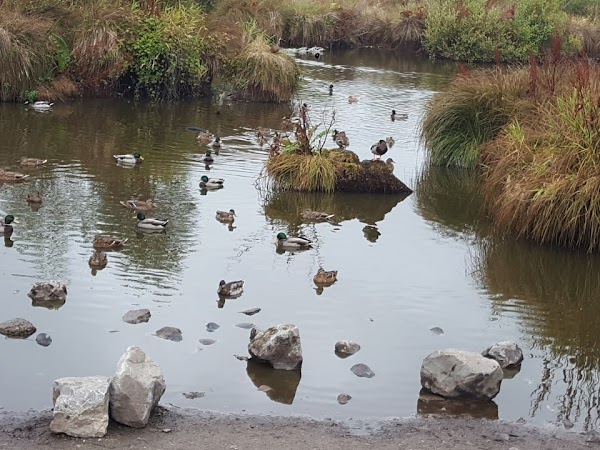 Newpark Marsh ParkNature reserve · 1.5 mi
 Kilkenny AFC & Kilkenny & District Soccer LeagueMemorial · 1.7 mi
 Stephens Barracks MuseumMuseum · 1.7 mi
 KilkennyVisitor information · 1.9 mi
 St. Maul's GraveyardMemorial · 2.0 mi
 Black PoplarBlack Poplar · 2.0 mi