What is recorded here
Sixty-four metres of low earth stretch east and south from the Bohercuill ringfort, forming an oval annexe where small plots and two rectangular house foundations still mark the ground. The largest chamber abuts the fortress wall itself, suggesting the stronghold did not exclude life but organized it into paddocks and rooms. A resident may have stood at the eastern edge, watching cattle move through banks built by hands long gone, while the stone fort looked on like a silent guardian.
Immediately E and S of ringfort (GA042-031001-). What is visible are a series of low banks radiating from the ringfort to form a roughly oval area (E-W 64.6m, N-S 35.6m). Within it a number of small plots, irregular in plan, are discernible, along with at least two possible subrectangular house foundations defined by low banks: (a) abuts the external face of the ringfort at NE (NNW-SSE; L 8m, Wth 2m); (b) lies a short distance to SE of the latter (E-W; L 4m, Wth 2m). The whole resembles an annexe-like area attached to the ringfort within which are some houses and paddocks.
The above description is derived from the published 'Archaeological Inventory of County Galway Vol. II - North Galway'. Compiled by Olive Alcock, Kathy de hÓra and Paul Gosling (Dublin: Stationery Office, 1999).
Date of upload: 05 August 2010
The monument record does not grant public access. Check the route and ask the landowner before entering private land.
- What survives
- Recorded monument
Places near here
 CaherFairy fort / stone ringfort · 30 yd
 Connells FortArchaeological place · 496 yd
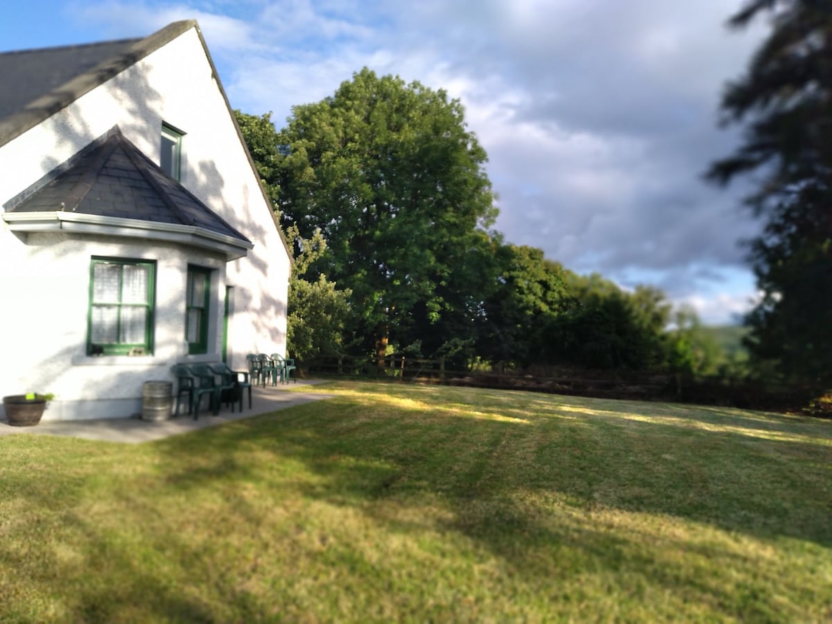 Country house in Barnaboy (headford By.)Country house · 1319 yd
 Donaghpatrick Church in ruinsChurch · 1321 yd
 Kilcoona Round TowerHeritage attraction · 2.2 mi
 Castle Hacket (in ruins)Castle, hall-house · 2.4 mi
 KnockmaaWood · 2.4 mi
 Bawn in ArdrumkillaBawn · 2.7 mi
 Ross Errilly FriaryHeritage attraction · 4.5 mi
 Pesooge PlantationForest · 4.6 mi
 Ballinduff BayBay · 4.6 mi
 Mass RockNamed rock · 5.1 mi