What is recorded here
Listed as 'Earthwork site' in the SMR (1990) and RMP (1997). Depicted by hachures, as a subrectangular area (c. 30m N-S; 55m E-W) abutting the S side of the Galey River, on the 1939 OS 6-inch map.
Compiled by: Matt Kelleher
Date of upload: 20 August 2013
The monument record does not grant public access. Check the route and ask the landowner before entering private land.
- What survives
- Recorded monument
Places near here
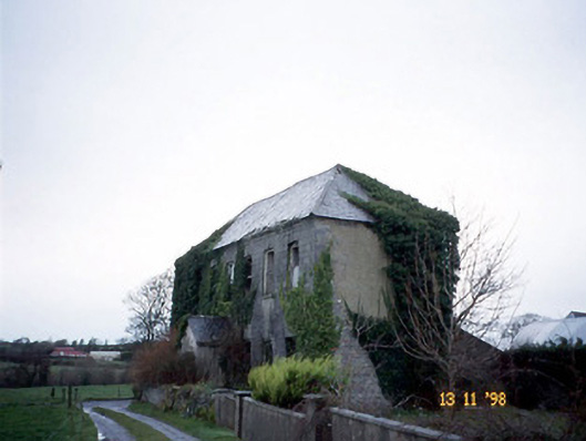 Bedford Househouse · 612 yd
 Fulacht fia in DrombegFulacht fia · 799 yd
 Enclosure in BedfordEnclosure · 1010 yd
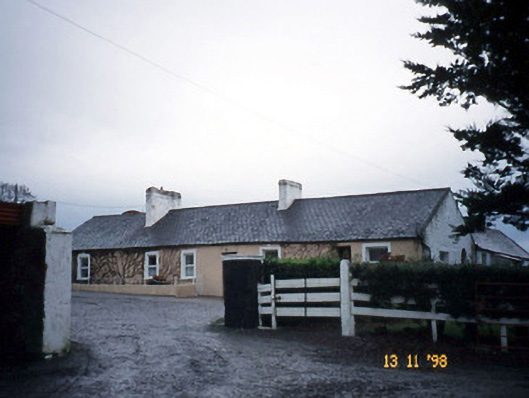 Gunsboroughfarmyard complex · 2.0 mi
 John B. Keane GroveMemorial · 2.3 mi
 Lartigue MonorailMuseum · 2.4 mi
 Statue of SchillerMemorial · 2.6 mi
 Kerry Writers' MuseumMuseum · 2.7 mi
 Listowel Castle (in ruins)Castle, tower house · 2.7 mi
 Bawn in GlouriaBawn · 2.8 mi
 Siege of Carrigafoyle Castlesiege · 6.0 mi
 KnockanoreMountain / peak · 6.1 mi