What is recorded here
Fort View House overlookes a hidden oval mound in Bawnshanaclogh, County Cork. The earthwork vanished beneath cultivation ridges and pasture, yet the 1842 survey still marked its shape. It may have been a boundary, a shelter or a ceremonial feature, but the soil has taken back its purpose.
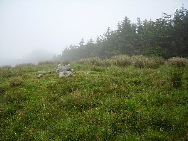
In pasture, on N-facing slope; to SE of Fort View House. Roughly oval-shaped mound shown on OS 6-inch map (1842) inside subrectangular field. No visible surface trace; interior of field covered by remains of cultivation ridges.
The above description is derived from the published 'Archaeological Inventory of County Cork. Volume 1: West Cork' (Dublin: Stationery Office, 1992). In certain instances the entries have been revised and updated in the light of recent research.
Date of upload/revision: 14 January 2009
The monument record does not grant public access. Check the route and ask the landowner before entering private land.
- What survives
- Recorded monument
Places near here
 Man-made underground passage in SparrogradaMan-made underground passage · 583 yd
 Bawnknockane Burial GdGraveyard · 634 yd
 KnockaphukeenMountain / peak · 886 yd
 farm housefarm house · 1.2 mi
 Coolagh Cottagehouse · 1.6 mi
 Ballydehob's 3-Arch Road BridgeVisitor information · 1.6 mi
 Ballydehob Railway StationVisitor information · 1.6 mi
 Danno O’Mahony statueMemorial · 1.6 mi
 Derrylahard EastMountain / peak · 2.4 mi
 Barnageehy Loop WalkWalking route · 2.6 mi
 Kilcoe CastleCastle · 3.2 mi
 Mannin BegIslet · 3.3 mi