What is recorded here
On sloping ground, in reclaimed pasture, 550m S of the River Loobagh that marks the townland boundary with Garroose. Not depicted on the 1840 ed. OSi 6-inch map or the 1897 ed. OSi 25-inch map. Shown on the Cassini OSi 6-inch map as an oval-shaped platform or small mound (dims. c. 18m). No surface remains visible on Digital Globe orthoimage taken between 2011-13 or on Google Earth orthoimages.
See attached Google Earth orthoimages.
Compiled by: Martin Fitzpatrick
Date of upload: 12 August 2021
The monument record does not grant public access. Check the route and ask the landowner before entering private land.
- What survives
- Recorded monument
Places near here
 Garroose Bridgebridge · 662 yd
 Site of Hackmys ChurchChurch · 959 yd
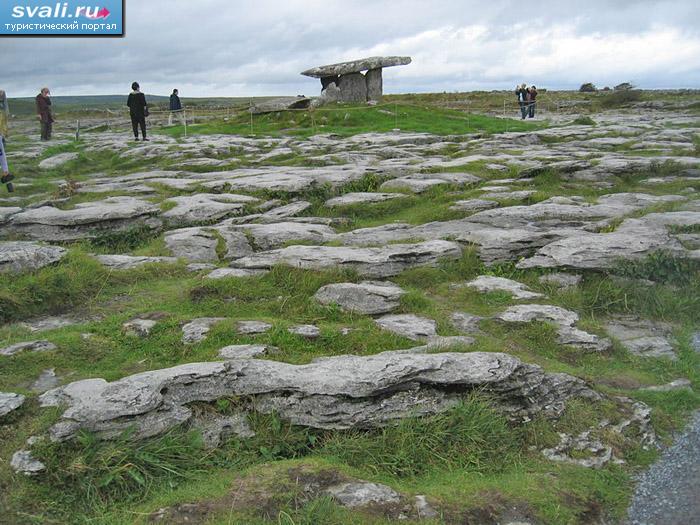 BarrowBarrow, unclassified · 1100 yd
 Bawn in CregganeBawn · 1.1 mi
 kilnkiln · 1.2 mi
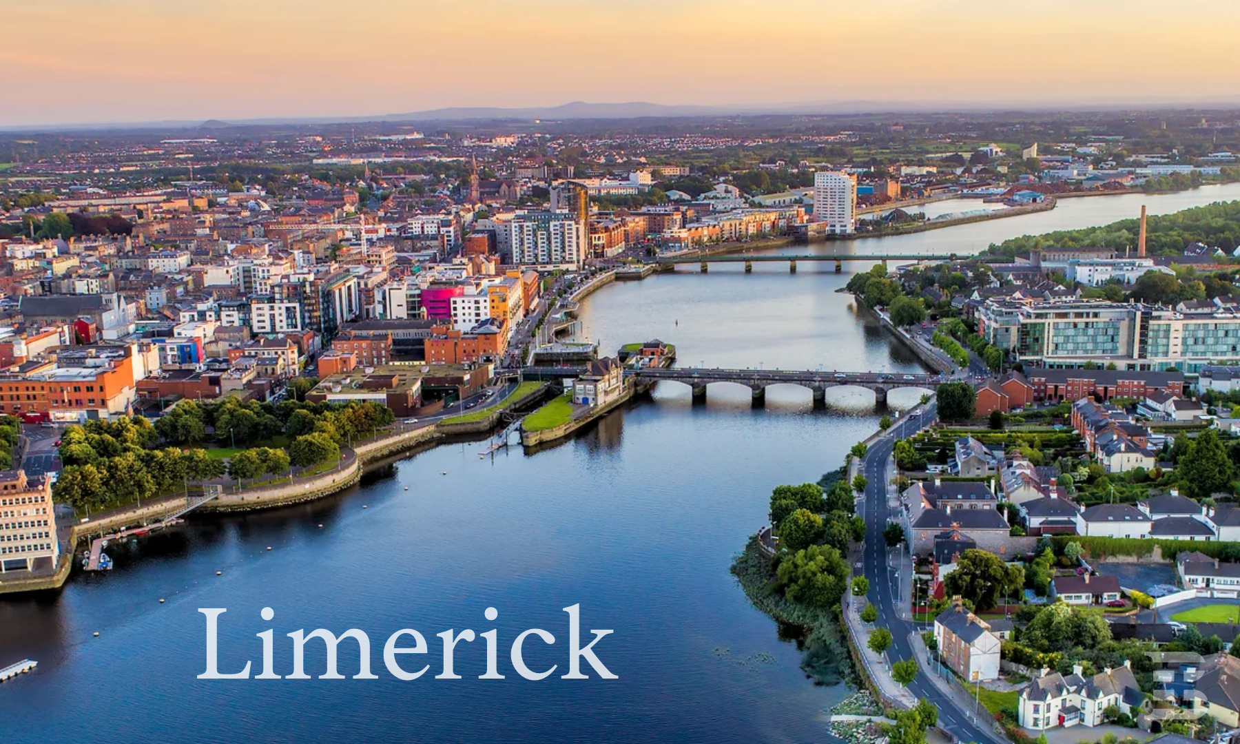 IndicatedCastle, unclassified · 1.4 mi
 Lady's WellSpring · 2.8 mi
 ToberSpring · 2.8 mi
 Holy Cross CemeteryGraveyard · 2.9 mi
 King John's CastleCastle · 3.7 mi
 Caher HillMountain / peak · 5.7 mi
 Ballinvreena LoopVisitor information · 9.6 mi