What is recorded here
In 2003, archaeologist Brian Hodkinson identified a hidden circular enclosure in Ballynacourty, lying ninety metres northeast of the castle. The earthwork measures thirty-four metres across and appears only as a faint cropmark in satellite images, evading historic maps and modern memory. It is a ghost circle in reclaimed pasture, waiting for someone to notice the shape of what was forgotten.
In reclaimed pasture 90m NE of castle (LI056-048----). Not depicted on OSi historic maps. Identified as an enclosure by archaeologist Brian Hodkinson in 2003. Visible as a roughly circular-shaped cropmark (diam. c. 34m) on Digital Globe orthoimage taken between 2011-13. Faint cropmark of levelled earthwork visible on Google Earth orthoimage dated 28/06/2018.
See attached Google Earth orthoimages.
Compiled by: Martin Fitzpatrick
Date of upload: 16 November 2021
The monument record does not grant public access. Check the route and ask the landowner before entering private land.
- What survives
- Recorded monument
Places near here
 Site of CastleCastle, unclassified · 135 yd
 Folaí Fiadh, hachuredFulacht fia · 780 yd
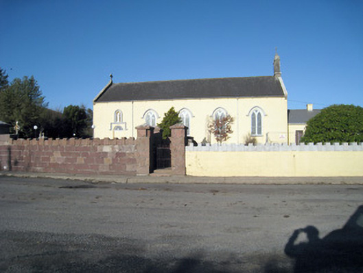 Catholic Church of Our Lady of Ransomchurch/chapel · 1326 yd
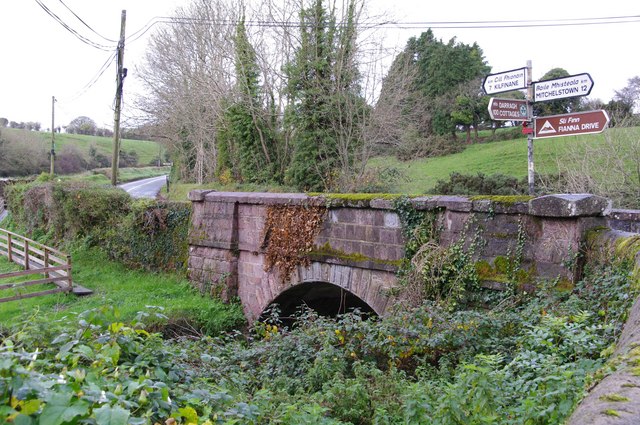 Darragh Bridgebridge · 1446 yd
 Enclosure in Ballyshane (coshlea By.)Enclosure · 1.4 mi
 CarrigeenamronetyMountain / peak · 1.5 mi
 ToberpatrickSpring · 1.7 mi
 Keale MountainMountain / peak · 1.8 mi
 Kilclooney WoodWood · 2.6 mi
 Ballyhoura WayWalking route · 2.8 mi
 Palatine's RockNamed rock · 3.0 mi
 Treada Na Ríogh (The Moat), hachuredCastle, motte · 3.5 mi