What is recorded here
In tillage field. Cropmark of circular-shaped area defined by the cropmark of a ditch visible on on Apple Maps orthoimage.
See attached orthoimage taken from Apple Maps
Compiled by: Caimin O'Brien based on details provided by Jean-Charles Caillère
Date of upload: 23 January 2023
The monument record does not grant public access. Check the route and ask the landowner before entering private land.
- What survives
- Recorded monument
Places near here
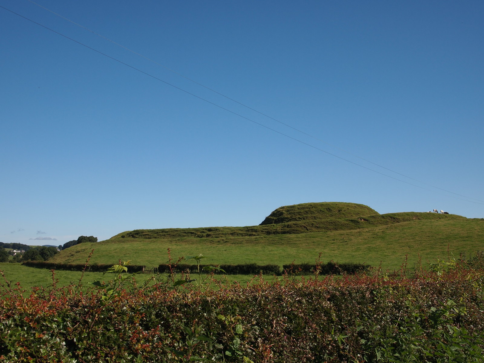 MoteMound · 60 yd
 Church (in Ruins) Grave YardChurch · 238 yd
 Enclosure in ThomastownEnclosure · 1272 yd
 Bawn in BallyheashillBawn · 1.0 mi
 IndicatedHouse, 17th century · 1.1 mi
 Ballybrittan CastleCastle, tower house · 1.1 mi
 Roundhill WoodForest · 3.3 mi
 Clonin EarthworksMountain / peak · 3.5 mi
 Holy PlantationForest · 3.6 mi
 Moat HillMountain / peak · 3.7 mi
 Sli na Slainte - mapVisitor information · 6.9 mi
 Allen family memorial headstoneMemorial · 7.1 mi