What is recorded here
Cropmark of circular-shaped area (diam. c. 50m) defined by a ditch visible on Google Earth photograph taken 05/10/2009.
See attached Google Earth orthoimages
Compiled by: Caimin O'Brien based on details provided by Jean-Charles Caillère
The monument record does not grant public access. Check the route and ask the landowner before entering private land.
- What survives
- Recorded monument
Places near here
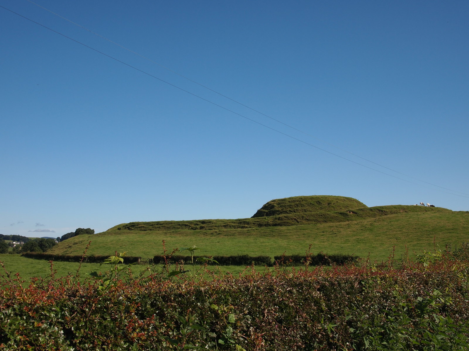 MoteMound · 661 yd
 Church (in Ruins) Grave YardChurch · 759 yd
 Bawn in BallyheashillBawn · 1296 yd
 Enclosure in ThomastownEnclosure · 1533 yd
 IndicatedHouse, 17th century · 1638 yd
 Ballybrittan CastleCastle, tower house · 1647 yd
 Clonin EarthworksMountain / peak · 3.2 mi
 Holy PlantationForest · 3.3 mi
 Moat HillMountain / peak · 3.4 mi
 Victoria PlantationWood · 3.4 mi
 Sli na Slainte - mapVisitor information · 7.1 mi
 Allen family memorial headstoneMemorial · 7.2 mi