What is recorded here
In pasture 25m E of R512. Enclosure (LI040-003----) lies to immediate N. Not marked on OSi historic maps. Identified as a circular-shaped enclosure during examination of aerial photographs (BGE 1/5000 2544 Site No 040266) taken 03/11/1984 on the Bórd Gáis Éireann gas pipeline. No surface remains visible on OSi orthophoto taken between 2005-12 or on Google Earth orthoimage dated 20/09/2020 with the area truncated by field boundary running roughly E-W and a dwelling house is located to SE.
See attached aerial photograph from Bórd Gáis Éireann Curraleigh gas pipeline (Site No 040266) and Google Earth orthoimages.
Compiled by: Martin Fitzpatrick
Date of upload: 13 May 2021
The monument record does not grant public access. Check the route and ask the landowner before entering private land.
- What survives
- Recorded monument
Places near here
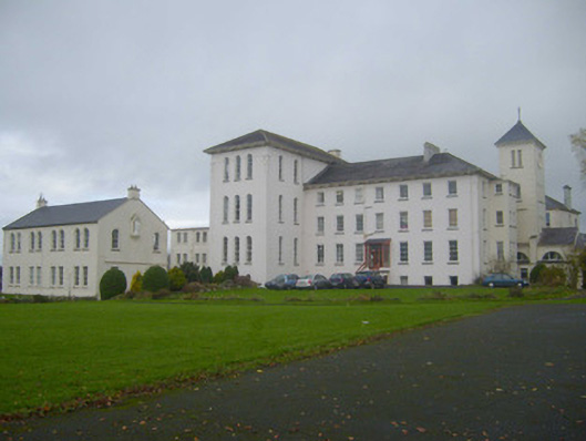 Saint Mary's Conventconvent/nunnery · 559 yd
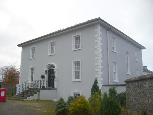 presbytery/parochial/curate's housepresbytery/parochial/curate's house · 587 yd
 Enclosure in BallinleeEnclosure · 667 yd
 Field system in Ballygrennan (coshma By., Bruff Ed)Field system · 668 yd
 Castle (in ruins)Castle, unclassified · 754 yd
 Ballygrennan Castle (in ruins)Castle, tower house · 903 yd
 Glen BogForest · 2.5 mi
 KnockainyMountain / peak · 3.2 mi
 Flat cemetery in Knockainy WestFlat cemetery · 4.0 mi
 Monasteranenagh AbbeyHeritage attraction · 5.8 mi
 St Patrick's WellSpring · 6.7 mi
 European ashEuropean ash · 6.9 mi