What is recorded here
Ballygrennan Castle and the nearby earthwork share one quiet demesne, but the smaller circle never appeared on historic maps and may have vanished entirely. It resisted human memory, hiding inside pasture and shadow until a gas-pipeline flight caught a pale ring in 1984. After that it became a picture rather than a place, bright in one frame and absent in every later view. The land kept its secret, giving up only the least possible shape of what it had swallowed.
In pasture on the demesne lands of Ballygrennan Castle (LI040-007----) located 1km to E. Earthwork (LI039-116----) lies 25m to W. Not marked on OSi historic maps. Identified as a possible circular-shaped cropmark during examination of aerial photographs (BGE 1/50000 2545, Site No 040264) taken 03/11/1984 on Bórd Gáis Éireann gas pipeline. No surface remains visible on OSi orthophoto taken between 2005-12 or on Google Earth orthoimages.
See attached aerial photograph from Bórd Gáis Éireann gas pipeline (BGE 1/5000 2545) and Google Earth orthoimages.
Compiled by: Martin Fitzpatrick
Date of upload: 13 May 2021
The monument record does not grant public access. Check the route and ask the landowner before entering private land.
- What survives
- Recorded monument
Places near here
 Field system in Ballygrennan (coshma By., Bruff Ed)Field system · 460 yd
 Enclosure in BallinleeEnclosure · 648 yd
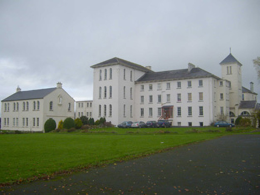 Saint Mary's Conventconvent/nunnery · 1075 yd
 Ballygrennan Castle (in ruins)Castle, tower house · 1129 yd
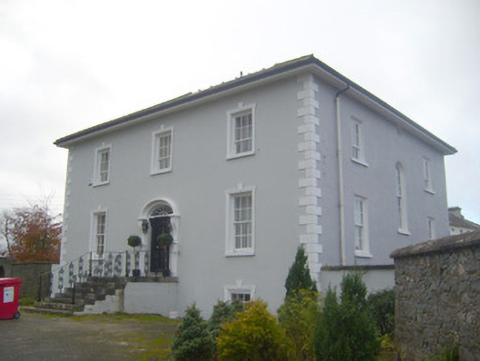 presbytery/parochial/curate's housepresbytery/parochial/curate's house · 1131 yd
 Castle (in ruins)Castle, unclassified · 1316 yd
 KnockainyMountain / peak · 3.4 mi
 Grange Stone CircleArchaeological place · 3.5 mi
 Flat cemetery in Knockainy WestFlat cemetery · 4.2 mi
 Monasteranenagh AbbeyHeritage attraction · 5.8 mi
 St Patrick's WellSpring · 6.7 mi
 Edmund's WellSpring · 7.0 mi