What is recorded here
Ballygrennan Castle and its surrounding pasture hold a hidden circular earthwork that resisted every human attempt to see it. Men walked the grass, drew maps and took photographs from above, yet the circle stayed absent until a gas pipeline survey revealed its ghostly shape. The land kept its own secret, waiting for the right moment to show itself. What was built there, who forgot it and why it resisted discovery remain unknown.
In pasture within the demesne lands of Ballygrennan Castle (LI040-007----) located 1km to E. Enclosure (LI040-001002-) lies 25m to E. Not marked on OSi historic maps. Identified as a possible circular-shaped enclosure during examination of aerial photographs (BGE 1/50000 2545 Site No 040265) taken 03/11/1984 on the Bórd Gáis Éireann Curraleigh West-Limerick gas pipeline. No surface remains visible on OSi orthophoto taken between 2005-12. Visible as a circular depression on Google Earth orthoimage dated 20/09/2020.
See attached aerial photograph from Bórd Gáis Éireann Curraleigh West-Limerick gas pipeline (BGE 1/50000 2543) with earthwork labelled 040265 and Google Earth orthoimages.
Compiled by: Martin Fitzpatrick
Date of upload: 6 May 2021
The monument record does not grant public access. Check the route and ask the landowner before entering private land.
- What survives
- Recorded monument
Places near here
 Field system in Ballygrennan (coshma By., Bruff Ed)Field system · 446 yd
 Enclosure in BallinleeEnclosure · 639 yd
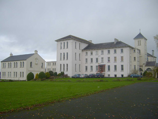 Saint Mary's Conventconvent/nunnery · 1087 yd
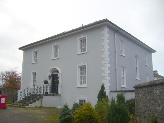 presbytery/parochial/curate's housepresbytery/parochial/curate's house · 1145 yd
 Ballygrennan Castle (in ruins)Castle, tower house · 1156 yd
 Castle (in ruins)Castle, unclassified · 1331 yd
 KnockainyMountain / peak · 3.4 mi
 Grange Stone CircleArchaeological place · 3.5 mi
 Flat cemetery in Knockainy WestFlat cemetery · 4.2 mi
 Monasteranenagh AbbeyHeritage attraction · 5.8 mi
 St Patrick's WellSpring · 6.7 mi
 Edmund's WellSpring · 7.0 mi