What is recorded here
Ovoid shaped hachured earthwork marked on 1897 ed. OSi 25-inch map immediately west of Ballyculhane Castle (LI012-010002-). This earthwork mat be the remains of a possible pond feature depicted on the 1840 ed. OSi 6-inch map. Tree-covered area visible on Digital Globe orthoimage taken 2011-13 and on Google Earth orthophoto taken 28/06/2018.
See attached Google Earth orthoimage taken 28/06/2018
Compiled by: Caimin O'Brien
Date of upload: 1 February 2021
See attached ASI aerial photographs ASIAP – taken on 04/03/2006.
The monument record does not grant public access. Check the route and ask the landowner before entering private land.
- What survives
- Recorded monument
Places near here
 Ballyculhane CastleCastle · 40 yd
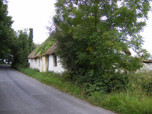 Goggin Cottagehouse · 767 yd
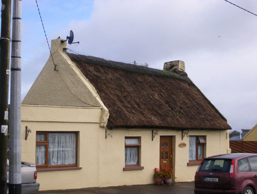 An Teach Tuíhouse · 1676 yd
 Bolane CastleCastle · 1.2 mi
 Kildimo (Old)Settlement cluster · 1.5 mi
 Enclosure in BallynacarrigaEnclosure · 1.6 mi
 Grass IslandIslet · 2.6 mi
 Celtic Park and GardensHeritage attraction · 2.7 mi
 Maiden RockNamed rock · 2.8 mi
 St James's WellSpring · 3.0 mi
 Mellon PointHeadland · 3.0 mi
 Sailors HaggardMemorial · 3.1 mi