What is recorded here
In pasture 200m NE of the ruins of Ballinstona House and immediately S of Ballinastona Cottage. Not depicted on the 1840 ed. OSi 6-inch map. Shown on the Cassini OSi 6-inch map as a raised oval-shaped area (diam. c. 18m N-S; 28m E-W) enclosed by a fosse. Outline of monument is visible as an oval-shaped cropmark partially covered with scrub on OSi orthophoto taken between 2005-2012 and on Google Earth orthoimage dated 14/09/2019. Possible landscape feature or tree-ring associated with Ballinstona Cottage to N.
See attached Google Earth orthoimages.
Compiled by: Martin Fitzpatrick
Date of upload: 4 May 2021
The monument record does not grant public access. Check the route and ask the landowner before entering private land.
- What survives
- Recorded monument
Places near here
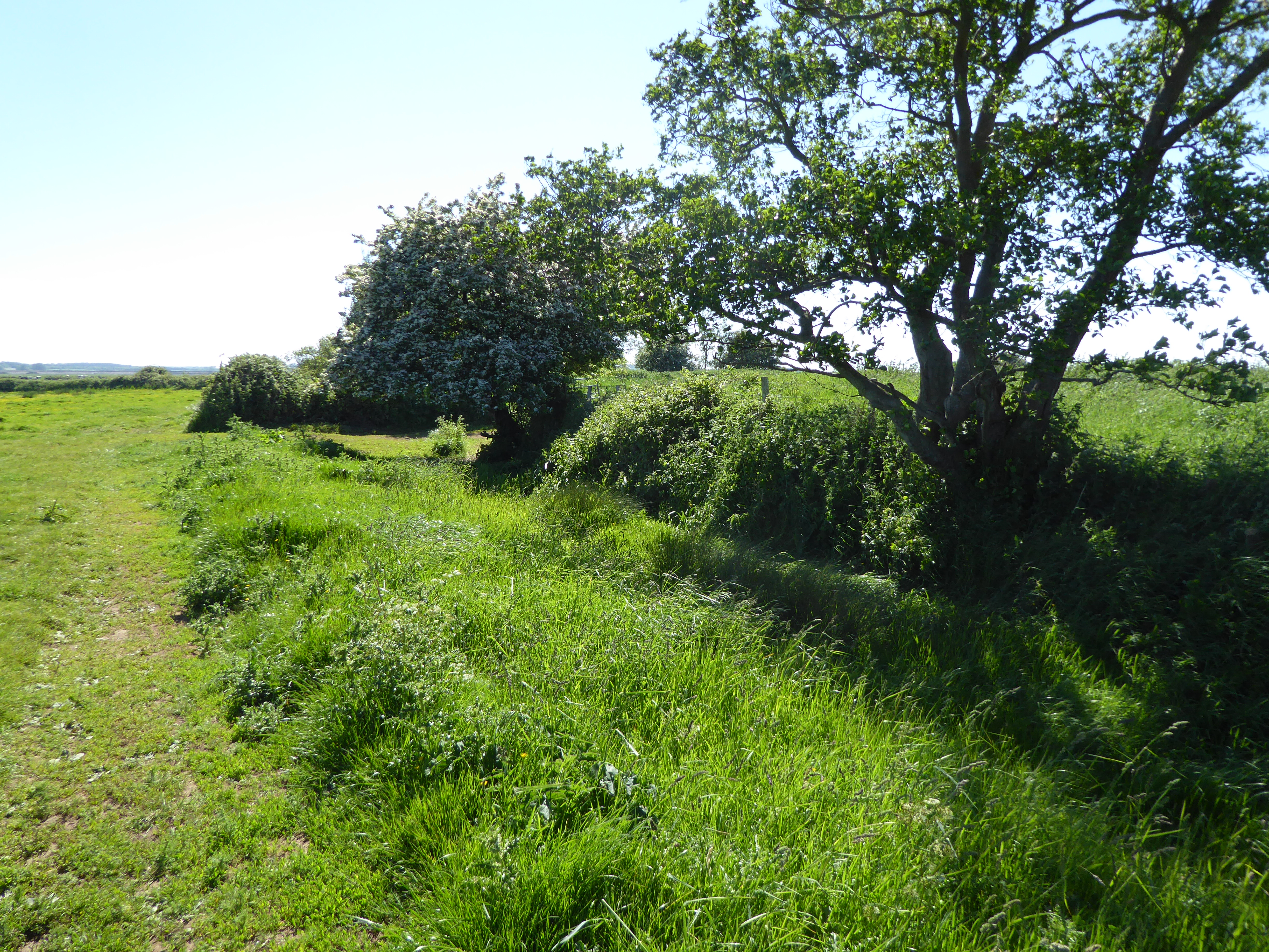
 BarrowBarrow, ditch barrow · 486 yd
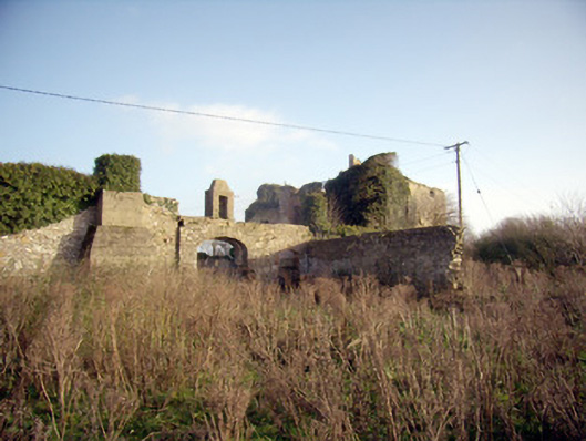
 EnclosureEnclosure, large enclosure · 827 yd
 post boxpost box · 1037 yd
 Greenpark Housecountry house · 1080 yd
 Site of Bulgaden HallCastle, unclassified · 1.5 mi
 Ballygrennan Castle (in ruins)Castle, tower house · 1.7 mi
 King John's CastleCastle · 3.0 mi
 KnockainyMountain / peak · 4.1 mi
 St Bridget's WellSpring · 4.6 mi
 Flat cemetery in Knockainy WestFlat cemetery · 4.6 mi
 Grange Stone CircleArchaeological place · 5.0 mi
 Ballinvreena LoopVisitor information · 6.1 mi