What is recorded here
In pasture, Emlygrennan Church ruins (LI048-015001-) and graveyard (LI048-015002-) lie 50m to S. Not marked on historic OSi maps. Trace of enclosure or platform visible to the N of Emlygrennan Church on oblique aerial photograph taken 17/07/1968 (CUCAP BGK052). Possible trace of levelled earthwork visible as a circular cropmark (diam. c. 20m) on OSi orthophotograph taken between 2005-2012. No surface remains visible on Google Earth orthoimages.
See attached oblique aerial photograph taken 17/07/1971 (CUCAP BGK052) and Google Earth orthoimages.
Compiled by: Fiona Rooney
Date of upload: 6 August 2021
The monument record does not grant public access. Check the route and ask the landowner before entering private land.
- What survives
- Recorded monument
Places near here
 Stone GravesCist · 53 yd
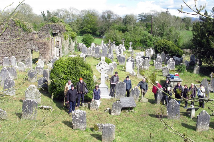 Grave YardGraveyard · 85 yd
 Ballynahinch Bridgebridge · 1385 yd
 Ballinvreena LoopVisitor information · 1.0 mi
 Knocktoran Housegate lodge · 1.2 mi
 Athneasy FortCastle, motte and bailey · 1.6 mi
 Edmund's WellSpring · 1.7 mi
 SlievereaghMountain / peak · 2.6 mi
 Castle (in ruins)Castle, tower house · 2.7 mi
 St Patrick's WellSpring · 2.8 mi
 Ballyhoura tourist informationVisitor information · 3.0 mi
 Palatine's RockNamed rock · 3.1 mi