What is recorded here
Balleen Lower holds a rectangular platform twenty-two metres long beside Balleen Castle and Balleen church, its low banks marking hollows and raised ground on a slight plateau. The shape may have served the castle and bawn as a working yard, a boundary marker or a place where people gathered before the stone tower rose. Whatever it was, it has survived beside the church and castle because the land itself remembered the shape of human use.
On a slight plateau, just below a hill crest looking onto a slightly lower and larger plateau occupied by Balleen Castle (KK009-037001-) and then across the valleys to the N,E and W. Balleen church (KK009-038001-) is immediately to the S. Probably associated with Balleen Castle and bawn (KK009-037003-) c. 120m to the N. Several low banks forming an irregular pattern of hollows and platforms, with one large, rectangular platform (max. dims. 22m N-S; 7m E-W) at S.
This monument is subject to a preservation order made under the National Monuments Acts 1930 to 2014 (PO no. 3/1992).
Compiled by: Jean Farrelly
Date of upload: 5 February 2018
The monument record does not grant public access. Check the route and ask the landowner before entering private land.
- What survives
- Recorded monument
Places near here
 Balleen Castle (ruins)Castle · 82 yd
 CastleCastle, unclassified · 84 yd
 Garranamanagh Ringfort (rath)Archaeological place · 819 yd
 CaisealArchaeological place · 914 yd
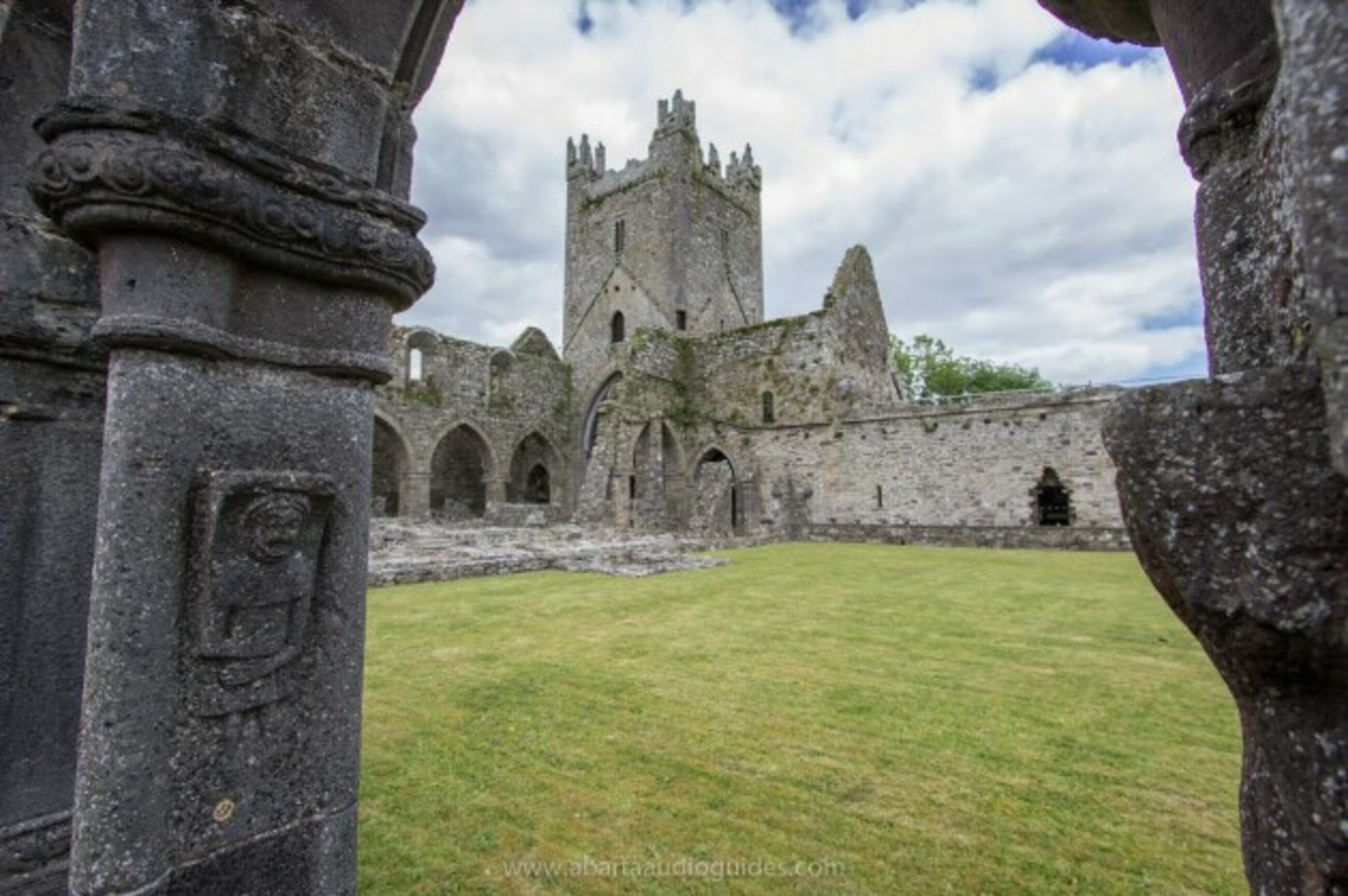 Church in Tifeaghna (browne)Church · 1207 yd
 Foyle Bridgebridge · 1581 yd
 The PondsForest · 2.0 mi
 Freshford LoopWalking route · 2.2 mi
 Emma Jane Browne-ClaytonMemorial · 2.2 mi
 Red horse-chestnutRed horse-chestnut · 2.3 mi
 Clomantagh HillMountain / peak · 2.9 mi
 John HelyMemorial · 4.7 mi