What is recorded here
In pasture, located immediately to N of a graveyard (MA033-001002-). Two low, grass-covered earthen banks (Wth on top, 1.4-1.9m; H 0.2-0.5m), set c. 24m apart, extend to N from the external face of the enclosing wall at the N side of the graveyard. The E bank extends 25m to N, and the W bank extends 40m. The E bank clearly overlies the early ecclesiastical enclosure (MA033-001008-). They appear to be the remains of field divisions post-dating the ecclesiastical enclosure, and probably also the graveyard wall, and may be of relatively recent date.
Compiled by: Jane O'Shaughnessy
Date of upload: 19 June 2018
The monument record does not grant public access. Check the route and ask the landowner before entering private land.
- What survives
- Recorded monument
Places near here
 Fallmore ChurchChurch · 26 yd
 St. Deriblas WellHoly well · 397 yd
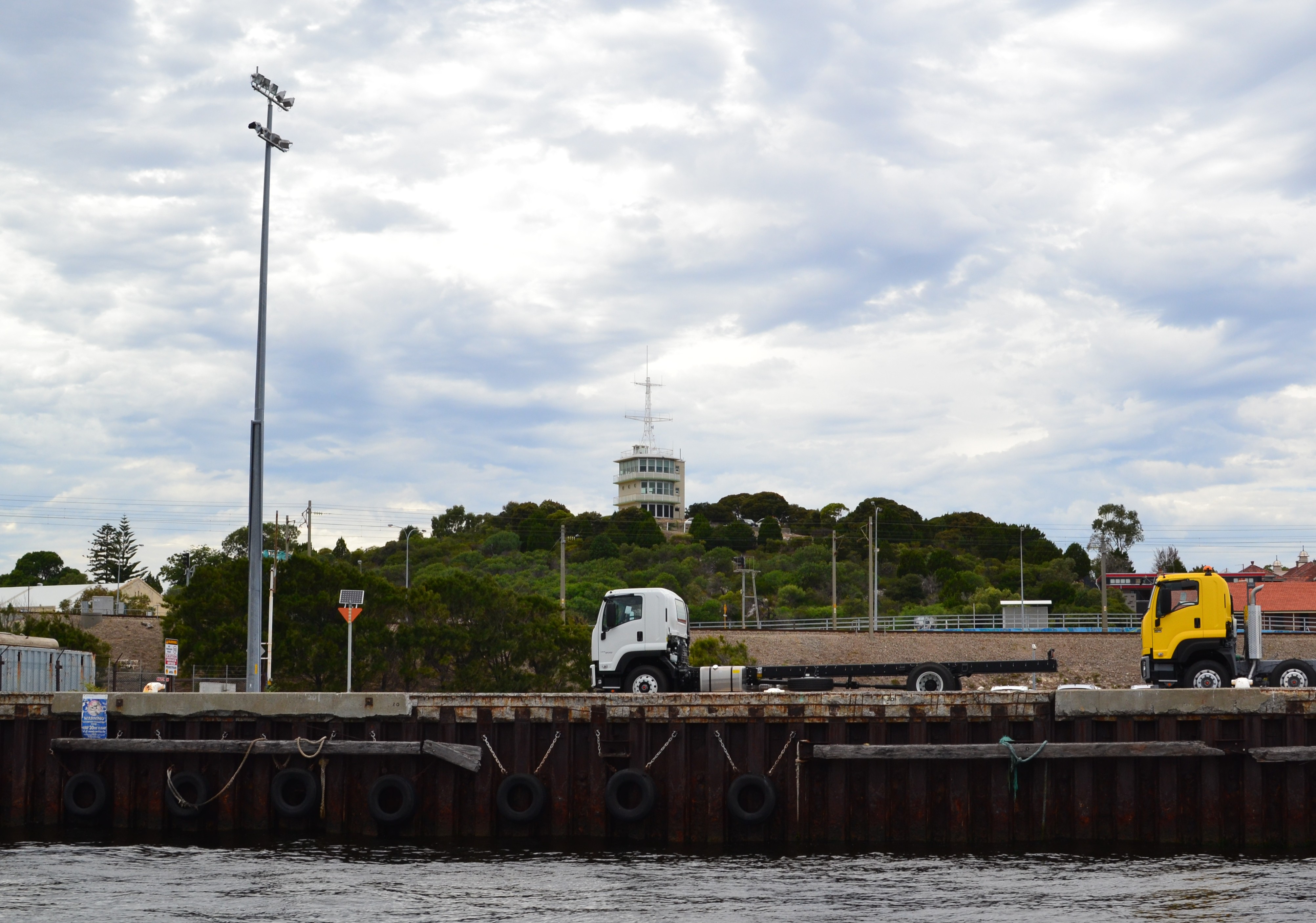 Termon Hill Signal StationRuins · 1271 yd
 Léim an ReitheIslet · 1.0 mi
 TermonEcclesiastical site · 1.1 mi
 Termon BeachBeach / strand · 1.4 mi
 CaolaighIslet · 1.9 mi
 Trá Mullach RuaBeach / strand · 3.3 mi
 Site of Redmond Barretts CastleCastle, unclassified · 3.4 mi
 Ceann FionnaltaHeadland · 4.7 mi
 Barranagh Castle in RuinsCastle, unclassified · 5.4 mi
 GubacregganmoreHeadland · 5.5 mi