What is recorded here
In lowlying, damp pasture. This late 19th-century earthwork was used as a butt or backstop on a shooting range. It is not shown on the 1838 OS 6-inch map, but is shown on the 25-inch plan as an oblong hachured mound (c. 30m NW−SE; c. 10m NE−SW) annotated ‘Butt’, with the shooting range, annotated ‘Rifle Range’, extending ‘800 yards’ to NE of the butt. The mound is shown on the 1919 OS 6-inch map, but by this time it has fallen out of use and the shooting range is no longer indicated. A grass-covered mound is still evident at the location.
Compiled by: Jane O'Shaughnessy
Date of revised upload: 12 July 2021
The monument record does not grant public access. Check the route and ask the landowner before entering private land.
- What survives
- Recorded monument
Places near here
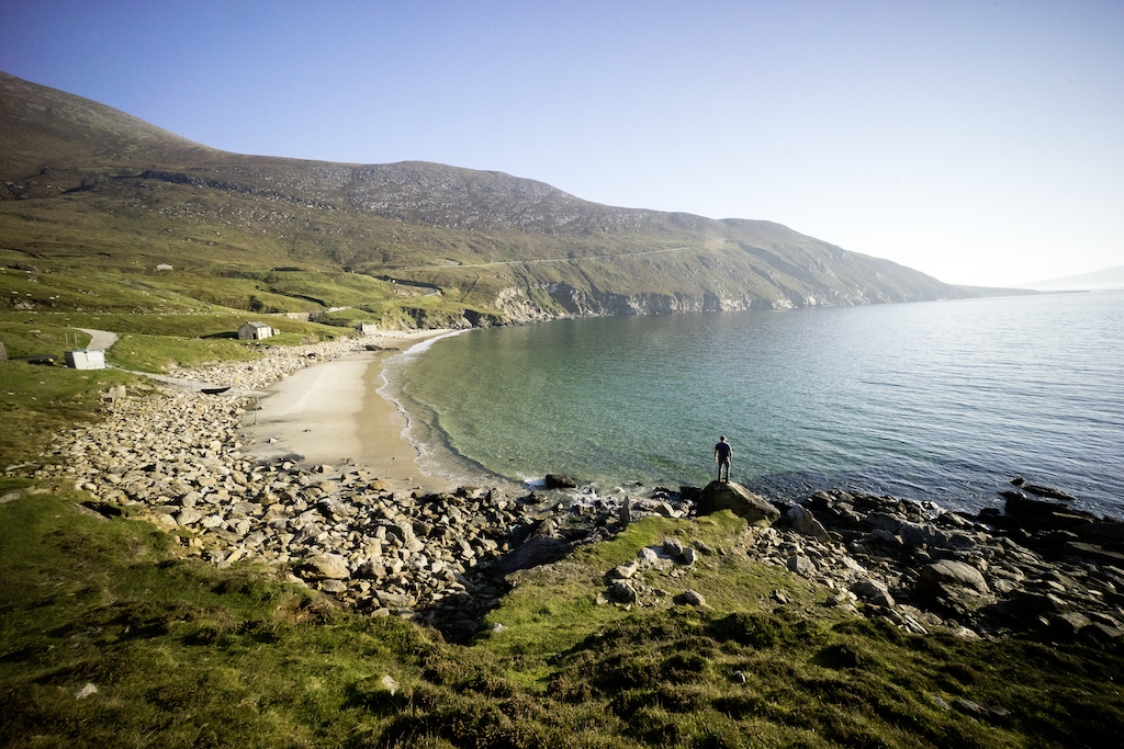 IndicatedFairy fort / earthen ringfort · 410 yd
 Castlebar Railway Stationsignal box · 1592 yd
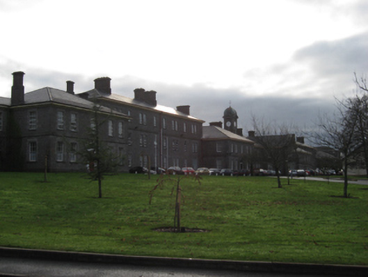 Castlebar District Lunatic Asylumhospital/infirmary · 1668 yd
 Garden of RemembranceMemorial · 1.2 mi
 Black FortFairy fort / earthen ringfort · 1.2 mi
 1798 MemorialMemorial · 1.3 mi
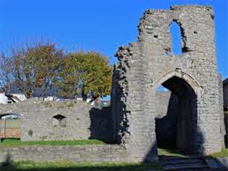 Barry CastleRuins · 1.3 mi
 Battle of CastlebarMajor battlefield · 1.7 mi
 Cock IslandWood · 2.1 mi
 Breaffy WoodsWood · 2.3 mi
 Kinturk CastleCastle · 2.7 mi
 National Museum of Ireland, Country LifeMuseum · 5.0 mi