
What is recorded here
Dunowen is a subcircular raised platform in County Cork, Ireland, overlooking Dirk Bay. The earthwork measures 53m east-west and 59.6m north-south, rising 2.35m with an almost flat top. A hut site lies within its interior, and local tradition speaks of a man-made underground passage beneath the soil. The enclosure has watched the bay for centuries, holding shapes and stories that predate written memory.
Overlooking Dirk Bay to E. Subcircular raised platform (E-W 53m; N-S 59.6m), almost flat topped (ext. H 2.35m); delimited by road to E. Hut site (9.50m N-S; 5.30m E-W) in interior. Hachured enclosure on OS 6-inch map (1842). Westropp (1914-16, 106) notes that 'The original fort of Dunowen is supposed to be a larger earthwork of the low mote type near the village'. Tradition of Man-made underground passage in site (CO144-042002-).
The above description is derived from the published 'Archaeological Inventory of County Cork. Volume 1: West Cork' (Dublin: Stationery Office, 1992). In certain instances the entries have been revised and updated in the light of recent research.
Date of upload/revision: 14 January 2009
The monument record does not grant public access. Check the route and ask the landowner before entering private land.
- What survives
- Recorded monument
Places near here
 Red StrandBeach / strand · 592 yd
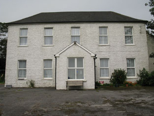 Ballyva Housefarm house · 1061 yd
 Castle (Site of)Castle, unclassified · 1063 yd
 Burial in DunowenBurial · 1084 yd
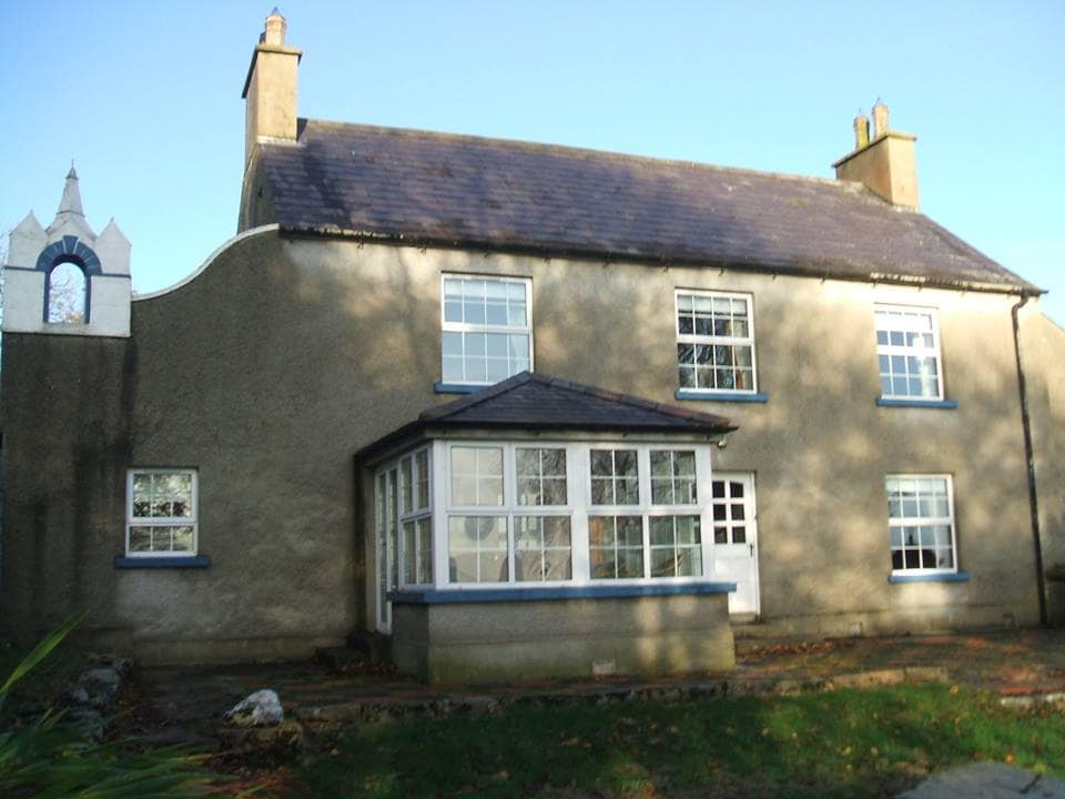 Country house in DunowenCountry house · 1355 yd
 St James WellHoly well · 1.1 mi
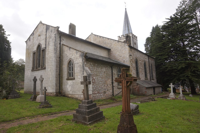 St. James WellSpring · 1.2 mi
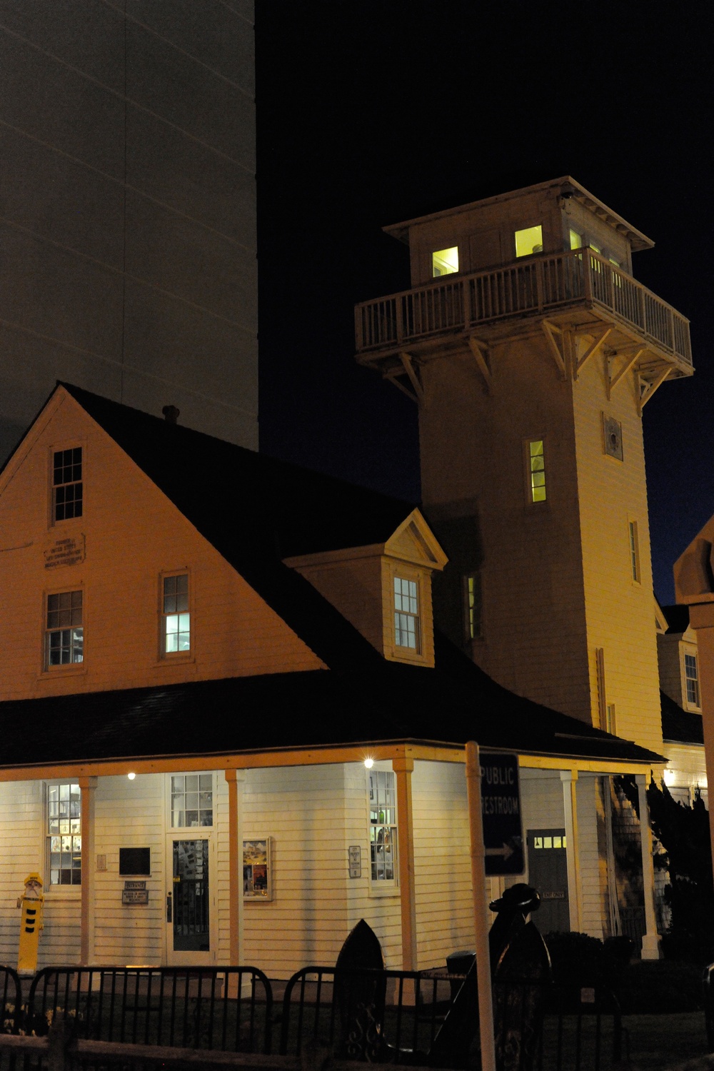 Old Coast Guard StationRuins · 1.3 mi
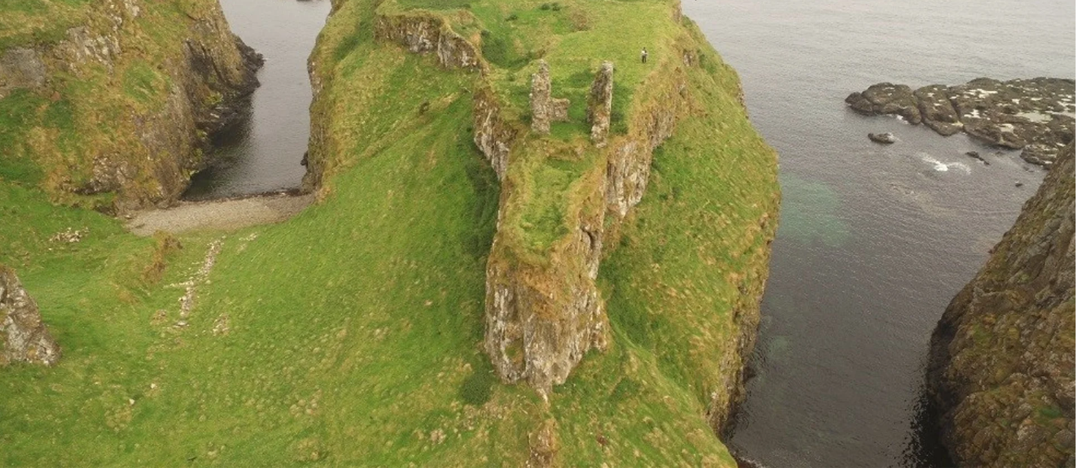 Dunnycove Castle (in Ruins)Castle, tower house · 1.4 mi
 Galley HeadViewpoint · 1.7 mi
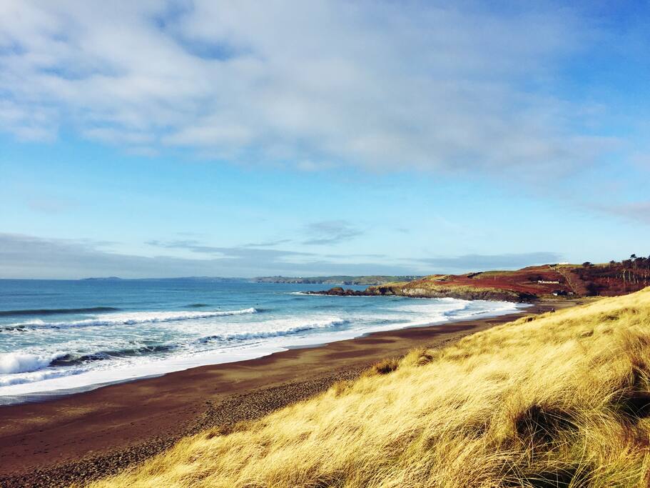 The Long StrandBeach / strand · 2.0 mi
 Long Strand DunesNature reserve · 2.1 mi
Other information
Photo: Credit not shown in the picture search · Rights wording not checked; contact us if this picture should be removed