What is recorded here
Dunnamark Fort is a D-shaped cliff-edge fort on the east shore of Bantry Bay, where an earthen bank and external fosse still mark the boundary between land and sea. The slightly convex cliff edge suggests people trusted the danger as much as their own work, pushing a usable home toward the water instead of retreating from it. A possible underground passage in the interior adds to the feeling that the place was made for watching, waiting, and disappearing when the sky changed.
In tillage, on cliff edge, on E shore Bantry Bay. Roughly D-shaped area enclosed by earthen bank S->NNE, with external fosse; slightly convex cliff edge NNE->S. Possible Man-made underground passage (CO118-004002-) in interior.
The above description is derived from the published 'Archaeological Inventory of County Cork. Volume 1: West Cork' (Dublin: Stationery Office, 1992). In certain instances the entries have been revised and updated in the light of recent research.
Date of upload/revision: 14 January 2009
The monument record does not grant public access. Check the route and ask the landowner before entering private land.
- What survives
- Recorded monument
Places near here
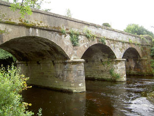 Dunnamark Bridgebridge · 360 yd
 MillMill, unclassified · 378 yd
 Settlement cluster in Newtown (bantry By.)Settlement cluster · 719 yd
 Newtown FortBastioned fort · 928 yd
 Graveyard in TownlotsGraveyard · 1714 yd
 St. Brendans StatueMemorial · 1.0 mi
 Tourist OfficeVisitor information · 1.0 mi
 Chapel IslandIslet · 1.1 mi
 Horse IslandIslet · 1.2 mi
 Ballylickey BayBay · 1.6 mi
 Eagle PointHeadland · 1.7 mi
 GinkgoGinkgo · 1.7 mi