What is recorded here
Scotland's National Record of the Historic Environment records Dunkeld - Dalnacardoch - Ruthven - Aviemore - Inverness Military Road as Military Road (18th Century). The official map says its point is accurate as follows: NGR given to the nearest 10m. The record does not by itself mean that the public may enter the place.
The historic-place record does not grant public access. Check current conditions and ownership before entering land or a building.
Places near here
 King's SeatFort (early Medieval), Hearth(s) (early Medieval) (550)-(645), Crucible(s) (early Medieval), Crucible(s) (early Medieval), Mould(s) (stone)(early Medieval) · 328 yd
 Dunkeld, Dunkeld House, West GrottoGrotto (garden) (post Medieval) · 392 yd
 Polney CragCliff · 525 yd
 River TayNatural Feature (period Unknown) · 601 yd
 Dunkeld, Dunkeld HouseCountry House (20th Century), Hotel (20th Century) · 671 yd
 Pine Cone PointViewpoint · 705 yd
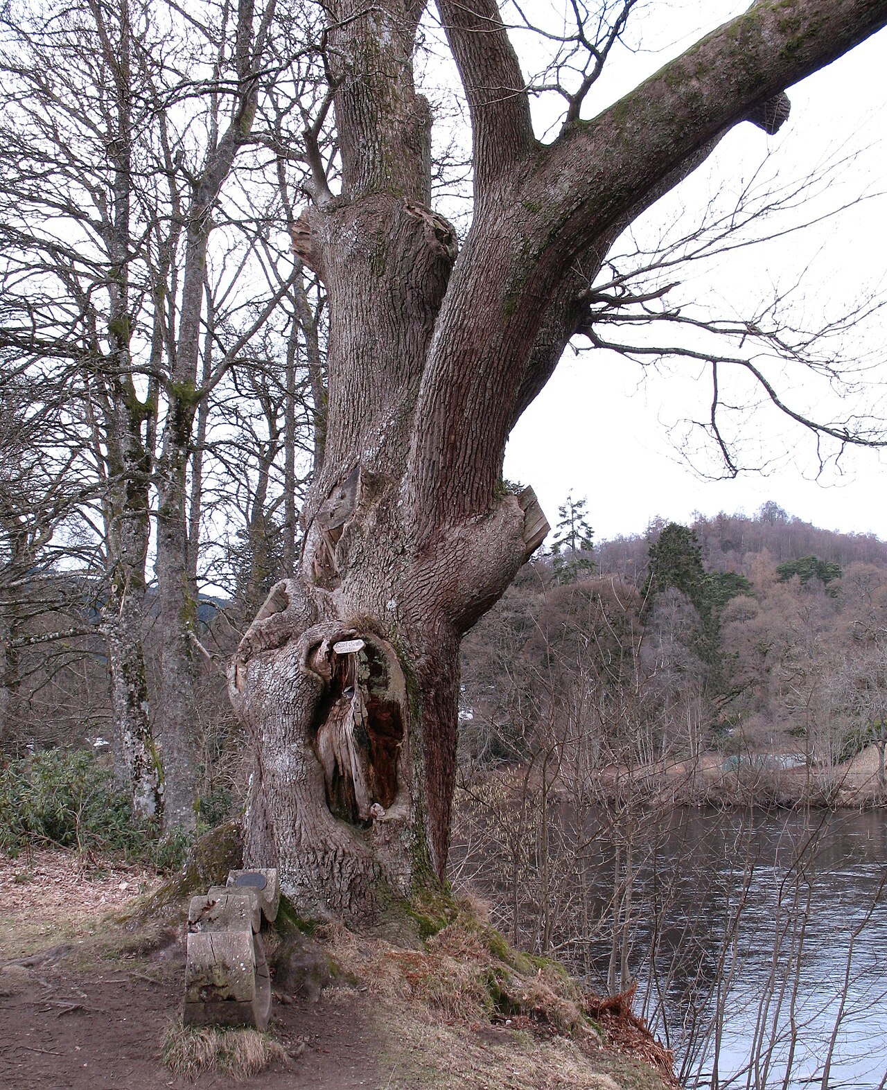 Niel Gow's OakOak · 1047 yd
 The Rocking StoneMountain / peak · 1233 yd
 Ossian's HallVisitor information · 1365 yd
 Falls of BraanWaterfall · 1366 yd
 Dunkeld, the Hermitage, Ossian's CaveFolly (18th Century) · 1528 yd
 Lady Charlotte's CaveCave · 1623 yd