What is recorded here
On a low hillock in a wide alluvial valley; streams flow to E and S of the monument which lies 85m N of the td. boundary. A well-preserved conical grassed-over mound of earth and gravel (D 9m, H 2m) as revealed by a small pit on its summit. Some 3m from its base at E is a scarp, with a second one below it a further 2.5m to E. These berm-like features form narrow terraces which curve around E side of the mound from NE to SE.
The above description is derived from the published 'Archaeological Inventory of County Galway Vol. II - North Galway'. Compiled by Olive Alcock, Kathy de hÓra and Paul Gosling (Dublin: Stationery Office, 1999).
Date of upload: 05 August 2010
The monument record does not grant public access. Check the route and ask the landowner before entering private land.
- What survives
- Recorded monument
Places near here
 Fulacht fia in CarrowkeelanahglassFulacht fia · 1.1 mi
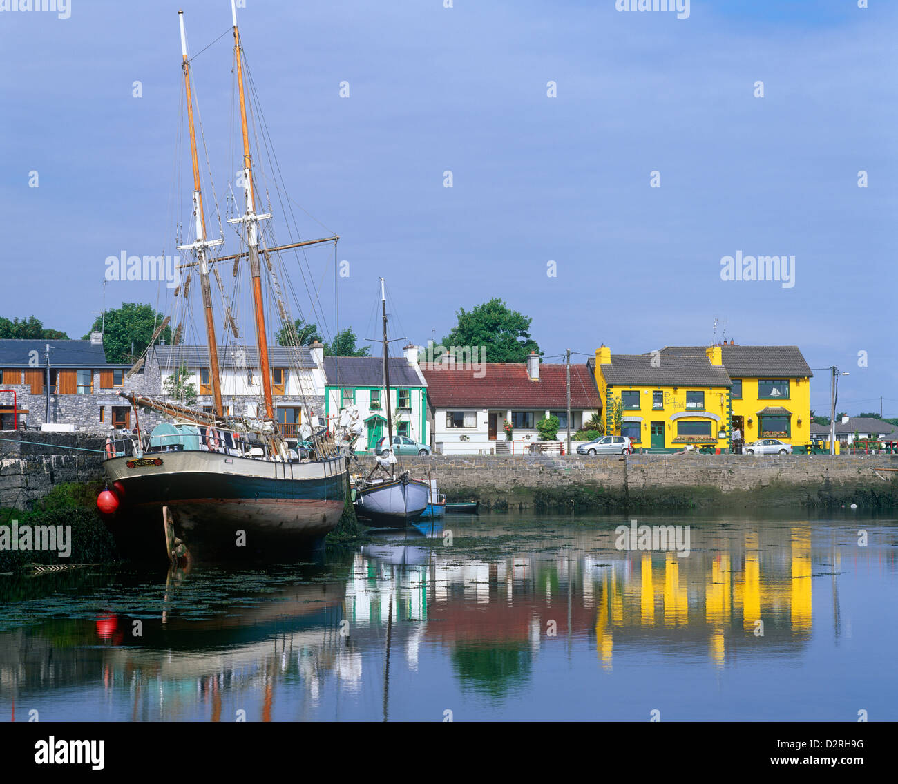 LisseachraFairy fort / earthen ringfort · 1.2 mi
 Kilmurry Church (in ruins)Church · 1.6 mi
 Church (in Ruins)Church · 1.9 mi
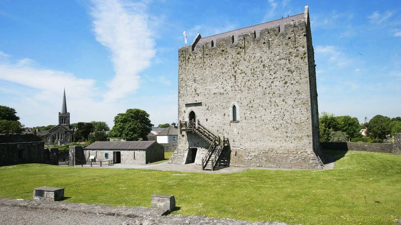 Lerhin CastleCastle · 2.5 mi
 Park CastleCastle · 2.9 mi
 European ashEuropean ash · 9.4 mi
 SycamoreSycamore · 9.9 mi
 Site of Killomaine Grave YardArchaeological place · 10 mi
 Ballinlass Eviction MemorialMemorial · 11 mi
 Mass RockNamed rock · 11 mi
 LisheenFairy fort / earthen ringfort · 1.3 mi