What is recorded here
This site has not been visited. According to Westropp (1922a 125) it is a narrow headland at the end of a chasm fenced off by a slightly curving wall six to eight feet thick and three courses high on the outside. The interior measures 78 feet by 38 feet and is featureless. Much of the site as well as a nearby ringfort were removed to build a bank along the cliff. An external fosse with a stone wall running along its base is visible from the air. The fort lies along the south coast of Inishturk.
These descriptions are derived from the MA thesis of Markus Casey 1999 The coastal promontory forts of Ireland. A survey of counties Sligo, Mayo, Galway and Clare. Unpublished MA thesis, National University of Ireland, Galway.
Date of upload: 5 December 2018
The monument record does not grant public access. Check the route and ask the landowner before entering private land.
- What survives
- Recorded monument
Places near here
 Dun BallyphereFairy fort / ringfort · 107 yd
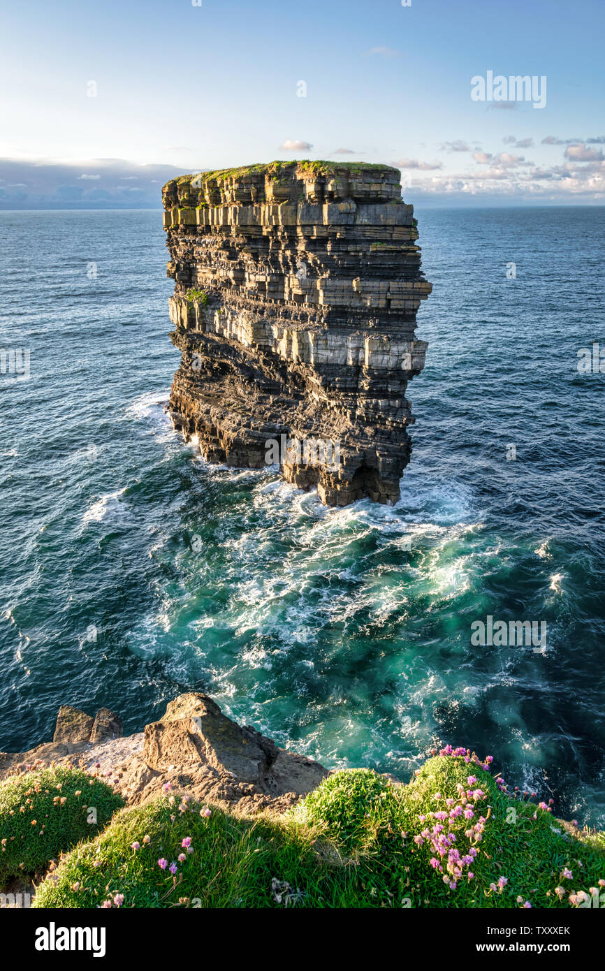 Dun BallyheerArchaeological place · 197 yd
 InishturkIsland · 1016 yd
 Chapel (ruins)Church · 1222 yd
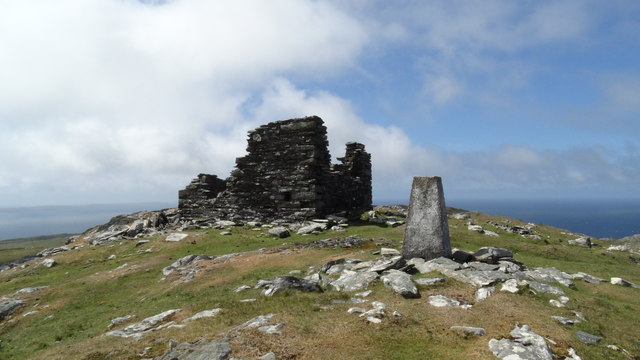 Inishturk Signal TowerRuins · 1661 yd
 InishdallaIslet · 1.9 mi
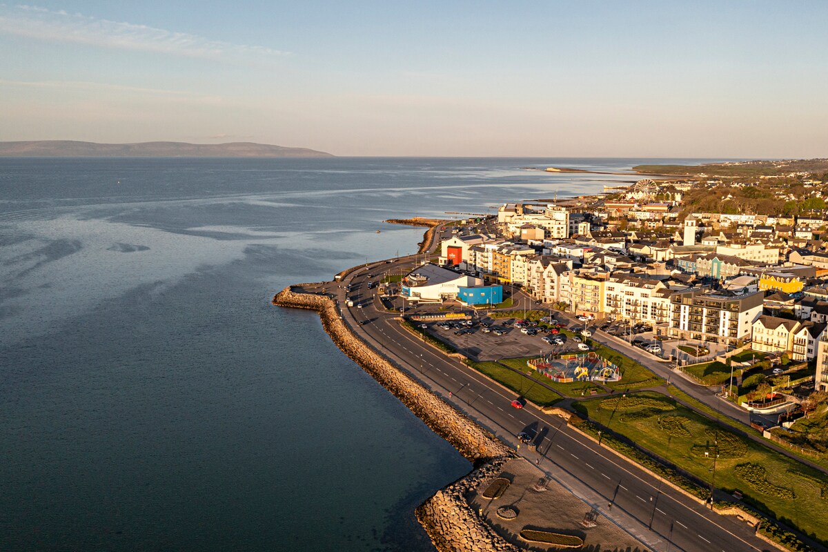 East End BeachBeach / strand · 5.8 mi
 Lyon HeadHeadland · 6.0 mi
 InishlyonMountain / peak · 6.1 mi
 Drumhach BeachBeach / strand · 6.1 mi
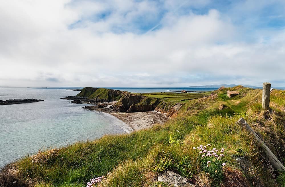 Rinvyle PointHeadland · 6.4 mi
 InishbofinIsland · 6.6 mi